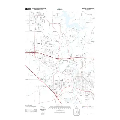
2013 Map of Iowa City West
USGS Topo · Published 2013About this map
University Heights and the western expansion of Iowa City define this early 21st-century landscape, where academic, residential, and recreational spaces converge. The Iowa River flows through the heart of the area, dammed to create Coralville Lake and the adjacent Devonian Fossil Gorge. The map documents a highly developed suburban and institutional corridor, including the Oakdale campus and the historic enclave of Vernon. Large-scale public facilities such as the Iowa City Municipal Airport and the Johnson County Fairgrounds occupy the southern reaches, while the central landscape is punctuated by academic athletics and leisure sites like Finkbine Golf Course. This survey captures the complex drainage network of Clear Cr and Muddy Cr as they navigate through the dense grid of a modern university town.
Find a feature on this map
353 named features on this map. Tap any name to fly to it.
Don’t see what you’re looking for? This feature index may not catch every label — zoom into the map to look around manually.
Map Details
Editions of this 2013 Iowa City West Map
This is the sole edition of this map. No revisions or reprints were ever made.
Other maps of this area

1887 · Cedar Rapids
USGS Topo · 1:62,500

1891 · Mechanicsville
USGS Topo · 1:62,500

1891 · Cedar Rapids
USGS Topo · 1:62,500

1891 · Iowa City
USGS Topo · 1:62,500

1894 · Mechanicsville
USGS Topo · 1:62,500

1894 · West Liberty
USGS Topo · 1:62,500

1901 · Stanwood
USGS Topo · 1:125,000

1903 · Fairfax
USGS Topo · 1:125,000

1938 · Iowa City
USGS Topo · 1:62,500

1958 · Davenport
USGS Topo · 1:250,000