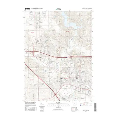
2015 Map of Iowa City West
USGS Topo · Published 2015About this map
The Univ of Iowa campus and the historic center of Iowa City anchor the southeastern corner of this map, reflecting the area’s identity as a major educational and civic hub in Johnson County. Just across the Iowa River, the suburban expansion of Coralville and University Heights spreads westward, characterized by a mix of commercial developments like the Coral Ridge Mall and established residential neighborhoods. This landscape demonstrates the evolution of the corridor between Iowa City and North Liberty, where older rural landmarks meet modern infrastructure.
Find a feature on this map
149 named features on this map. Tap any name to fly to it.
Don’t see what you’re looking for? This feature index may not catch every label — zoom into the map to look around manually.
Map Details
Editions of this 2015 Iowa City West Map
This is the sole edition of this map. No revisions or reprints were ever made.
Other maps of this area

1887 · Cedar Rapids
USGS Topo · 1:62,500

1891 · Mechanicsville
USGS Topo · 1:62,500

1891 · Cedar Rapids
USGS Topo · 1:62,500

1891 · Iowa City
USGS Topo · 1:62,500

1894 · Mechanicsville
USGS Topo · 1:62,500

1894 · West Liberty
USGS Topo · 1:62,500

1901 · Stanwood
USGS Topo · 1:125,000

1903 · Fairfax
USGS Topo · 1:125,000

1938 · Iowa City
USGS Topo · 1:62,500

1958 · Davenport
USGS Topo · 1:250,000