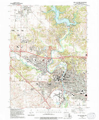
1994 Map of Iowa City West
USGS Topo · Published 1994About this map
The Iowa River snakes through this mid-1990s landscape, defining the character of Iowa City and Coralville. The river's winding course is flanked by numerous green spaces like Sturgis Ferry Park and Terrill Mill Park, while to the north, the massive Coralville Lake dominates the terrain. This period shows significant institutional growth, anchored by the University of Iowa medical and Oakdale campuses, and the Kirkwood Community College.
Find a feature on this map
79 named features on this map. Tap any name to fly to it.
Don’t see what you’re looking for? This feature index may not catch every label — zoom into the map to look around manually.
Map Details
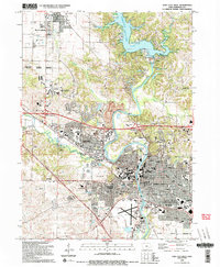
Editions of this 1994 Iowa City West Map
2 editions found
Other maps of this area

1887 · Cedar Rapids
USGS Topo · 1:62,500

1891 · Mechanicsville
USGS Topo · 1:62,500

1891 · Cedar Rapids
USGS Topo · 1:62,500

1891 · Iowa City
USGS Topo · 1:62,500

1894 · Mechanicsville
USGS Topo · 1:62,500

1894 · West Liberty
USGS Topo · 1:62,500

1901 · Stanwood
USGS Topo · 1:125,000

1903 · Fairfax
USGS Topo · 1:125,000

1938 · Iowa City
USGS Topo · 1:62,500

1958 · Davenport
USGS Topo · 1:250,000