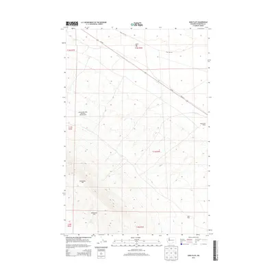
2013 Map of Iowa Flats
USGS Topo · Published 2013About this map
The Rattlesnake Hills Research Natural Area occupies a significant portion of this landscape, encompassing the prominent peaks of Rattlesnake Mtn and the surrounding Rattlesnake Hills. This area in Benton County shows a transition from high desert ridges down toward the Iowa Flats and the Cold Creek Valley. Water sources are few in this arid environment, making features like Sam White Spring and the drainage of Cold Cr critical landmarks for understanding the local topography and early land use. The presence of Goose Egg Hill further north and the linear path of Wa-240 cutting through the terrain highlight the intersection of natural volcanic geology and modern infrastructure in the vicinity of the Hanford area.
Find a feature on this map
17 named features on this map. Tap any name to fly to it.
Don’t see what you’re looking for? This feature index may not catch every label — zoom into the map to look around manually.
Map Details
Editions of this 2013 Iowa Flats Map
This is the sole edition of this map. No revisions or reprints were ever made.
Other maps of this area
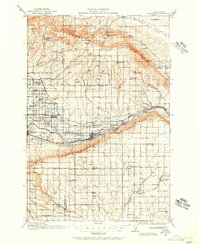
1915 · Prosser
USGS Topo · 1:125,000
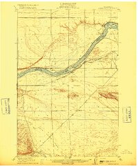
1916 · Coyote Rapids
USGS Topo · 1:62,500
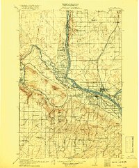
1917 · Pasco
USGS Topo · 1:125,000
1917 · Prosser
USGS Topo · 1:125,000
1924 · Hanford
USGS Topo · 1:62,500
1951 · Richland
USGS Topo · 1:62,500
1951 · Hanford
USGS Topo · 1:62,500
1951 · Corral Canyon
USGS Topo · 1:62,500
1951 · Coyote Rapids
USGS Topo · 1:62,500
1953 · Walla Walla
USGS Topo · 1:250,000