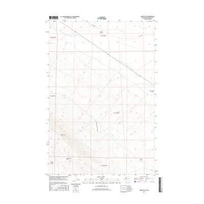
2017 Map of Iowa Flats
USGS Topo · Published 2017About this map
Rattlesnake Mtn and the surrounding Rattlesnake Hills dominate this portion of south-central Washington, where the landscape transitions from steep ridgelines to the broad, level expanse of Iowa Flats. The area is defined by its industrial and military character, containing corridors like the Army Loop Rd and the US Department of Energy Res Rd, reflecting the region's managed land use.
Find a feature on this map
16 named features on this map. Tap any name to fly to it.
Don’t see what you’re looking for? This feature index may not catch every label — zoom into the map to look around manually.
Map Details
Editions of this 2017 Iowa Flats Map
This is the sole edition of this map. No revisions or reprints were ever made.
Other maps of this area
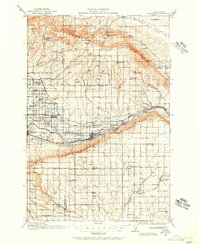
1915 · Prosser
USGS Topo · 1:125,000
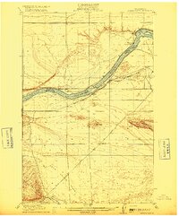
1916 · Coyote Rapids
USGS Topo · 1:62,500
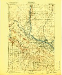
1917 · Pasco
USGS Topo · 1:125,000
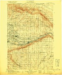
1917 · Prosser
USGS Topo · 1:125,000
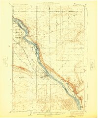
1924 · Hanford
USGS Topo · 1:62,500
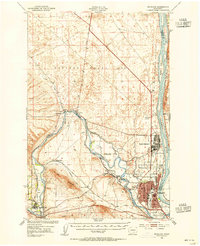
1951 · Richland
USGS Topo · 1:62,500
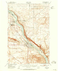
1951 · Hanford
USGS Topo · 1:62,500
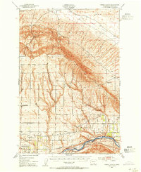
1951 · Corral Canyon
USGS Topo · 1:62,500
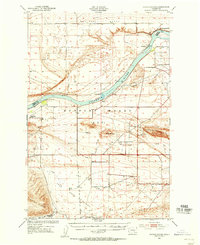
1951 · Coyote Rapids
USGS Topo · 1:62,500
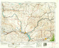
1953 · Walla Walla
USGS Topo · 1:250,000