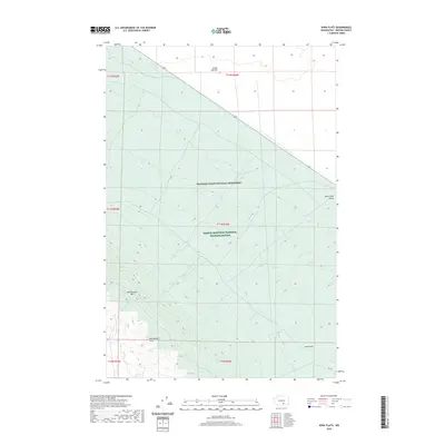
2020 Map of Iowa Flats
USGS Topo · Published 2020About this map
Hanford Reach National Monument and the Saddle Mountain National Wildlife Refuge dominate this high-desert landscape in Benton County. The terrain is defined by the prominent rise of Rattlesnake Mtn and the broader Rattlesnake Hills, which overlook the expansive Iowa Flats to the southeast. Water is a scarce but vital element of this geography, represented by the ephemeral Cold Cr winding through the Cold Creek Valley and the isolated Sam White Spring located at the base of the mountains.
Find a feature on this map
16 named features on this map. Tap any name to fly to it.
Don’t see what you’re looking for? This feature index may not catch every label — zoom into the map to look around manually.
Map Details
Editions of this 2020 Iowa Flats Map
This is the sole edition of this map. No revisions or reprints were ever made.
Other maps of this area

1915 · Prosser
USGS Topo · 1:125,000

1916 · Coyote Rapids
USGS Topo · 1:62,500

1917 · Pasco
USGS Topo · 1:125,000

1917 · Prosser
USGS Topo · 1:125,000

1924 · Hanford
USGS Topo · 1:62,500

1951 · Richland
USGS Topo · 1:62,500

1951 · Hanford
USGS Topo · 1:62,500

1951 · Corral Canyon
USGS Topo · 1:62,500

1951 · Coyote Rapids
USGS Topo · 1:62,500

1953 · Walla Walla
USGS Topo · 1:250,000