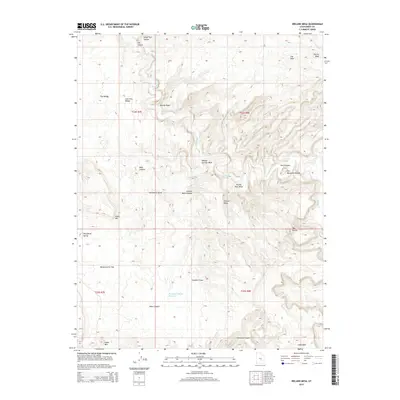
2014 Map of Ireland Mesa
USGS Topo · Published 2014About this map
Muddy Cr carves a winding path through this portion of the San Rafael Swell, defining the intricate canyon system of central Utah. The landscape is marked by dramatic geological formations, from the sharp bend of Prickly Pear Bend to the isolated prominence of Ireland Mesa. These features suggest a terrain where water, though scarce, has been the primary architect of the land, visible in the numerous dry washes like Poncho Wash and Willow Springs Wash that feed into the main creek bed.
Find a feature on this map
28 named features on this map. Tap any name to fly to it.
Don’t see what you’re looking for? This feature index may not catch every label — zoom into the map to look around manually.
Map Details
Editions of this 2014 Ireland Mesa Map
This is the sole edition of this map. No revisions or reprints were ever made.
Other maps of this area

1885 · San Rafael
USGS Topo · 1:250,000
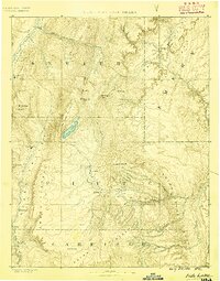
1885 · Fish Lake
USGS Topo · 1:250,000
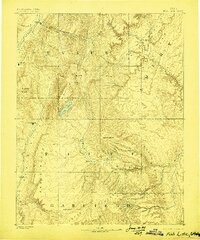
1896 · Fish Lake
USGS Topo · 1:250,000
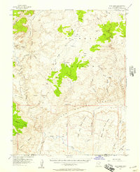
1952 · Wild Horse
USGS Topo · 1:62,500
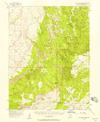
1952 · San Rafael Knob
USGS Topo · 1:62,500
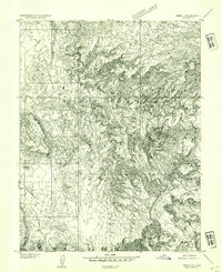
1953 · Emery 4 NE
USGS Topo · 1:24,000
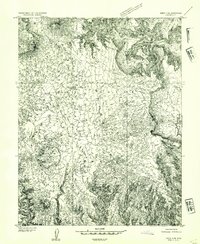
1953 · Emery 4 SE
USGS Topo · 1:24,000
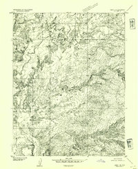
1953 · Emery 1 SE
USGS Topo · 1:24,000
1954 · Stinking Spring Creek 3 NW
USGS Topo · 1:24,000
1954 · Stinking Spring Creek 2 SW
USGS Topo · 1:24,000