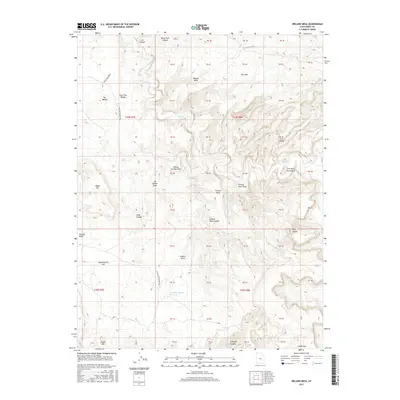
2017 Map of Ireland Mesa
USGS Topo · Published 2017About this map
San Rafael Swell dominates this 2017 survey of Emery County, Utah, where deep incisions like Ireland Mesa Canyon and Hebe Canyon reveal the complex erosion of the high desert. The landscape is a network of named washes and canyons, including Poncho Wash and Poor Canyon, illustrating the challenging drainage patterns of the region. Distinctive geological formations such as The Dike and the curiously named The Merry-Go-Round serve as significant landmarks within the broken terrain.
Find a feature on this map
56 named features on this map. Tap any name to fly to it.
Don’t see what you’re looking for? This feature index may not catch every label — zoom into the map to look around manually.
Map Details
Editions of this 2017 Ireland Mesa Map
This is the sole edition of this map. No revisions or reprints were ever made.
Other maps of this area

1885 · San Rafael
USGS Topo · 1:250,000
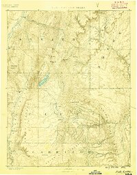
1885 · Fish Lake
USGS Topo · 1:250,000
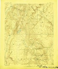
1896 · Fish Lake
USGS Topo · 1:250,000
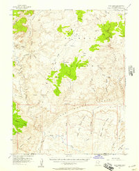
1952 · Wild Horse
USGS Topo · 1:62,500
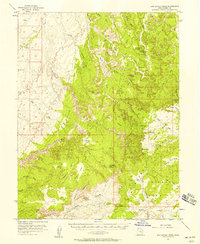
1952 · San Rafael Knob
USGS Topo · 1:62,500
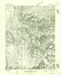
1953 · Emery 4 NE
USGS Topo · 1:24,000
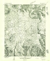
1953 · Emery 4 SE
USGS Topo · 1:24,000
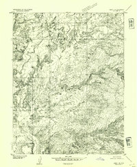
1953 · Emery 1 SE
USGS Topo · 1:24,000
1954 · Stinking Spring Creek 3 NW
USGS Topo · 1:24,000
1954 · Stinking Spring Creek 2 SW
USGS Topo · 1:24,000