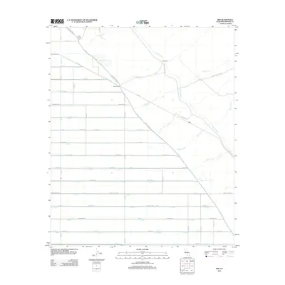
2012 Map of Iris
USGS Topo · Published 2012About this map
The settlement of Iris and the surrounding Imperial County desert floor are defined by a complex network of man-made waterways essential to the region's agricultural viability. The Coachella Canal and E Highline Canal dominate the landscape, cutting through the terrain with a system of siphons, including Siphon Six and Siphon Five. These features illustrate the intensive engineering required to manage water distribution in this arid environment. The map details a rigid grid of roads and lateral ditches, such as Niland-Pegleg Well Rd and the R Side Main Canal, which support localized hubs like Flowing Wells. This infrastructure highlights the transition from raw desert to a highly managed industrial landscape. The presence of Flowing Wls suggests the importance of subsurface water resources alongside the primary canal system, providing a technical look at the logistics of desert habitation and farming.
Find a feature on this map
74 named features on this map. Tap any name to fly to it.
Don’t see what you’re looking for? This feature index may not catch every label — zoom into the map to look around manually.
Map Details
Editions of this 2012 Iris Map
This is the sole edition of this map. No revisions or reprints were ever made.
Other maps of this area
1940 · Iris
USGS Topo · 1:62,500
1940 · Frink
USGS Topo · 1:62,500
1940 · Iris Pass
USGS Topo · 1:62,500
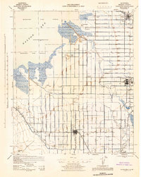
1944 · Calipatria
USGS Topo · 1:62,500
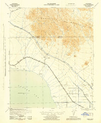
1944 · Frink
USGS Topo · 1:62,500
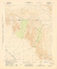
1945 · Iris Pass
USGS Topo · 1:62,500
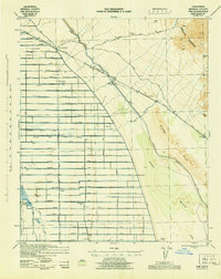
1945 · Iris
USGS Topo · 1:62,500
1954 · Salton Sea
USGS Topo · 1:250,000
1955 · Tortuga
USGS Topo · 1:24,000

1955 · Salton Sea
USGS Topo · 1:250,000