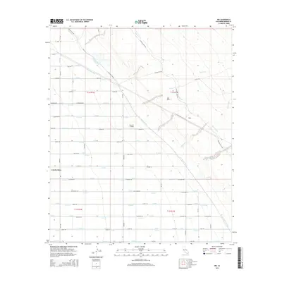
2015 Map of Iris
USGS Topo · Published 2015About this map
Imperial Valley agricultural patterns dominate this landscape, defined by an intricate network of irrigation infrastructure designed to sustain the desert floor. The transition from the cultivated fields of the valley into the arid East Mesa is clearly marked by the Coachella Canal and the East Highline Canal. This 2015 survey reveals the systematic organization of the region through a dense grid of laterals and drains, such as L Lateral and Q Drain, which feed the various land tracts. Notable infrastructure like Siphon Seven and Siphon Five highlight the engineering required to move water across varying elevations. The settlement of Iris and the eastern edge of Calipatria serve as local hubs, connected by a network of rural routes including Wiest Rd and Flowing Wells Rd that traverse the township boundaries of t11s r14e and t12s r15e.
Find a feature on this map
85 named features on this map. Tap any name to fly to it.
Don’t see what you’re looking for? This feature index may not catch every label — zoom into the map to look around manually.
Map Details
Editions of this 2015 Iris Map
This is the sole edition of this map. No revisions or reprints were ever made.
Other maps of this area
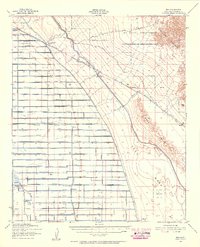
1940 · Iris
USGS Topo · 1:62,500
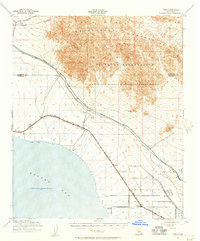
1940 · Frink
USGS Topo · 1:62,500
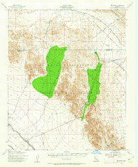
1940 · Iris Pass
USGS Topo · 1:62,500
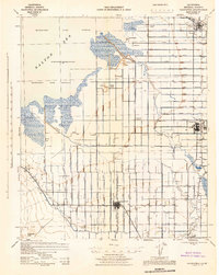
1944 · Calipatria
USGS Topo · 1:62,500
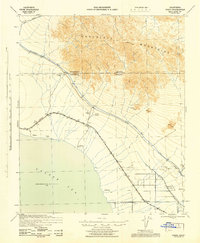
1944 · Frink
USGS Topo · 1:62,500
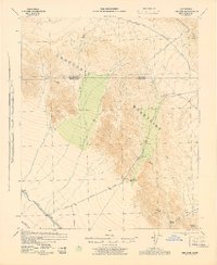
1945 · Iris Pass
USGS Topo · 1:62,500
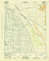
1945 · Iris
USGS Topo · 1:62,500
1954 · Salton Sea
USGS Topo · 1:250,000
1955 · Tortuga
USGS Topo · 1:24,000

1955 · Salton Sea
USGS Topo · 1:250,000