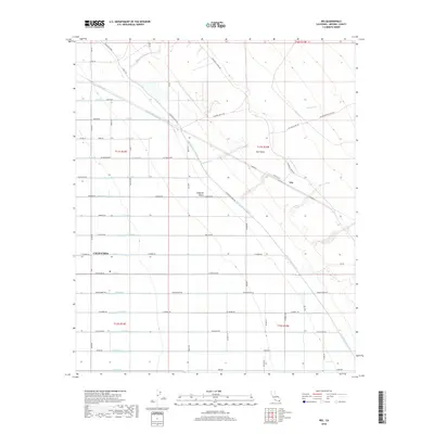
2018 Map of Iris
USGS Topo · Published 2018About this map
The irrigated agricultural landscapes of the Imperial Valley define this portion of Imperial County, where an intricate lattice of drainage and lateral canals supports desert farming. The eastern edge of the cultivation abruptly meets the East Mesa, a transition marked by the diagonal path of the E Highline Canal and the Highline Canal. This infrastructure is vital to the region's economy, with named water features like Siphon Seven and the R Side Main Canal managing the flow across the low-lying terrain. While the outskirts of Calipatria appear in the west, the small settlement of Iris sits further east along the canal route. The map reveals a highly structured grid of section lines and rural roads, including Highland Canal Rd and Weist Rd, which provide access to the expansive fields and water management systems that transformed this arid basin into a productive agricultural hub.
Find a feature on this map
126 named features on this map. Tap any name to fly to it.
Don’t see what you’re looking for? This feature index may not catch every label — zoom into the map to look around manually.
Map Details
Editions of this 2018 Iris Map
This is the sole edition of this map. No revisions or reprints were ever made.
Other maps of this area
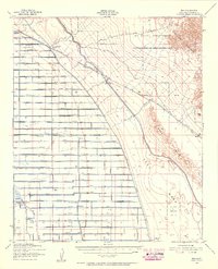
1940 · Iris
USGS Topo · 1:62,500
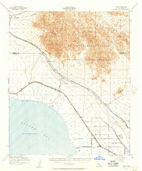
1940 · Frink
USGS Topo · 1:62,500
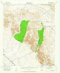
1940 · Iris Pass
USGS Topo · 1:62,500
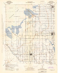
1944 · Calipatria
USGS Topo · 1:62,500
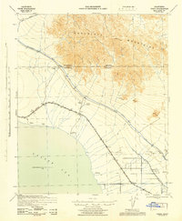
1944 · Frink
USGS Topo · 1:62,500
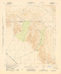
1945 · Iris Pass
USGS Topo · 1:62,500
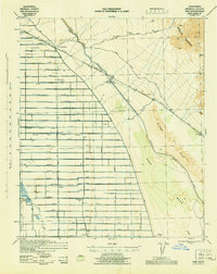
1945 · Iris
USGS Topo · 1:62,500
1954 · Salton Sea
USGS Topo · 1:250,000
1955 · Tortuga
USGS Topo · 1:24,000

1955 · Salton Sea
USGS Topo · 1:250,000