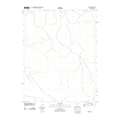
2010 Map of Iris NW
USGS Topo · Published 2010About this map
Gold Basin Creek and South Beaver Creek define the drainage patterns of this high-elevation landscape in Gunnison County. The map area is characterized by a network of rural access roads, including County Rd 32 and County Rd 38, which traverse the undulating terrain and provide access to the various gulches and creek beds. These drainage systems, such as Long Gulch and Pole Creek, suggest a landscape shaped by seasonal water flow and ranching or grazing activities typical of this region of Colorado. The absence of concentrated town centers emphasizes the area's use for agriculture or resource management, with Sugar Creek marking the southwestern reaches of this survey. For the researcher, this data offers a clear look at land divisions and the specific routes used to navigate these valleys.
Find a feature on this map
11 named features on this map. Tap any name to fly to it.
Don’t see what you’re looking for? This feature index may not catch every label — zoom into the map to look around manually.
Map Details
Editions of this 2010 Iris NW Map
This is the sole edition of this map. No revisions or reprints were ever made.
Other maps of this area

1908 · Uncompahgre
USGS Topo · 1:125,000

1911 · Uncompahgre
USGS Topo · 1:125,000

1954 · Iris NW
USGS Topo · 1:24,000

1954 · Iola
USGS Topo · 1:24,000

1954 · Mc Intosh Mountain
USGS Topo · 1:24,000

1954 · Gunnison
USGS Topo · 1:24,000

1956 · Montrose
USGS Topo · 1:250,000

1959 · Montrose
USGS Topo · 1:250,000

1960 · Montrose
USGS Topo · 1:250,000

1962 · Iris
USGS Topo · 1:24,000