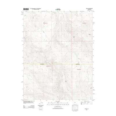
2013 Map of Iris NW
USGS Topo · Published 2013About this map
Gold Basin Cr and S Beaver Cr define the high-altitude hydrology of this mountain landscape along the border of Gunnison and Saguache Counties. This survey captures a region primarily defined by its drainage systems and natural topography, where numerous gulches like Stubbs Gulch and Chance Gulch carve into the terrain. The presence of several county roads, including Co Road 32 and Co Road 38a, provides a record of the modern transportation network established to navigate this high-country environment. Further south, Pole Cr and Sugar Cr traverse the township boundaries of T048N R001W, illustrating the remote and structured division of land across these two high-plains counties during the early 21st century.
Find a feature on this map
18 named features on this map. Tap any name to fly to it.
Don’t see what you’re looking for? This feature index may not catch every label — zoom into the map to look around manually.
Map Details
Editions of this 2013 Iris NW Map
This is the sole edition of this map. No revisions or reprints were ever made.
Other maps of this area
1908 · Uncompahgre
USGS Topo · 1:125,000
1911 · Uncompahgre
USGS Topo · 1:125,000
1954 · Iris NW
USGS Topo · 1:24,000
1954 · Iola
USGS Topo · 1:24,000
1954 · Mc Intosh Mountain
USGS Topo · 1:24,000
1954 · Gunnison
USGS Topo · 1:24,000

1956 · Montrose
USGS Topo · 1:250,000
1959 · Montrose
USGS Topo · 1:250,000
1960 · Montrose
USGS Topo · 1:250,000
1962 · Iris
USGS Topo · 1:24,000