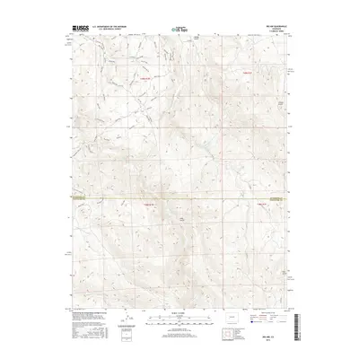
2016 Map of Iris NW
USGS Topo · Published 2016About this map
Rocky Ridge and the Sea of Sage define the high-altitude landscape of this Gunnison County interior. The terrain is marked by numerous drainages including Gold Basin Cr and Sandy Wash, which slice through the high plateau. The network of roads and trails suggests a modern era of recreational land use and access, with evocative local names such as The Luge, Broken Shovel, and the Enchanted Forest. Small outposts or family-named landmarks like Josie's and Josho's provide anchors for local history and genealogy. The boundary between Gunnison County and Saguache County cuts through the southern portion of the map near Long Gulch, highlighting the remote jurisdictional lines in this part of the Colorado high country. Transportation routes like Co RD 32 and specialized tracks like the Aberdeen Loop W facilitate travel across the varying elevations.
Find a feature on this map
57 named features on this map. Tap any name to fly to it.
Don’t see what you’re looking for? This feature index may not catch every label — zoom into the map to look around manually.
Map Details
Editions of this 2016 Iris NW Map
This is the sole edition of this map. No revisions or reprints were ever made.
Other maps of this area
1908 · Uncompahgre
USGS Topo · 1:125,000
1911 · Uncompahgre
USGS Topo · 1:125,000
1954 · Iris NW
USGS Topo · 1:24,000
1954 · Iola
USGS Topo · 1:24,000
1954 · Mc Intosh Mountain
USGS Topo · 1:24,000
1954 · Gunnison
USGS Topo · 1:24,000

1956 · Montrose
USGS Topo · 1:250,000
1959 · Montrose
USGS Topo · 1:250,000
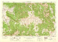
1960 · Montrose
USGS Topo · 1:250,000
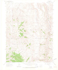
1962 · Iris
USGS Topo · 1:24,000