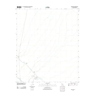
2012 Map of Iris Wash
USGS Topo · Published 2012About this map
Camp Dunlap serves as a focal point in this desert landscape, where the ephemeral Iris Wash cuts through the arid terrain. The map documents a critical juncture of water management and desert habitation in Imperial County during the early 21st century. The Coachella Canal winds through the area, supported by engineered infrastructure including Siphon Eight, Siphon Nine, and Siphon Seven. These features highlight the complex irrigation system required to sustain the region. A sparse network of roads like E Beal Rd and Gas Line Rd provides access to the settlement area, while Traveler Ln and Fred St define the local grid. This survey provides a precise record of the desert's infrastructure, from the Highline Canal to the utilitarian naming of its desert tracks.
Find a feature on this map
17 named features on this map. Tap any name to fly to it.
Don’t see what you’re looking for? This feature index may not catch every label — zoom into the map to look around manually.
Map Details
Editions of this 2012 Iris Wash Map
This is the sole edition of this map. No revisions or reprints were ever made.
Other maps of this area
1940 · Iris
USGS Topo · 1:62,500
1940 · Frink
USGS Topo · 1:62,500
1940 · Iris Pass
USGS Topo · 1:62,500
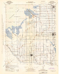
1944 · Calipatria
USGS Topo · 1:62,500
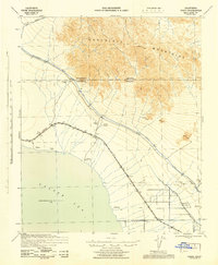
1944 · Frink
USGS Topo · 1:62,500
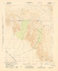
1945 · Iris Pass
USGS Topo · 1:62,500
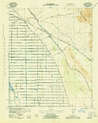
1945 · Iris
USGS Topo · 1:62,500
1954 · Salton Sea
USGS Topo · 1:250,000
1955 · Tortuga
USGS Topo · 1:24,000

1955 · Salton Sea
USGS Topo · 1:250,000