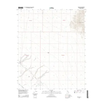
2015 Map of Iris Wash
USGS Topo · Published 2015About this map
The Imperial Valley desert landscape meets the western foothills of the Chocolate Mountains in this survey of southeastern California. The vital role of water management in this arid region is clearly defined by the path of the Coachella Canal and its associated infrastructure, including Siphon Seven and the Coachella Canal Rd. These engineering works facilitate life and agriculture on the East Mesa, where the land begins to level out from the drainage of Iris Wash. The map also reveals a network of utilitarian transit routes such as Beal Rd, Tank Rd, and Low Rd, which intersect near the E Highline Canal at the southern edge of the quadrangle. These roads and canals represent the essential human layer imposed upon the naturally dry floor of the valley.
Find a feature on this map
17 named features on this map. Tap any name to fly to it.
Don’t see what you’re looking for? This feature index may not catch every label — zoom into the map to look around manually.
Map Details
Editions of this 2015 Iris Wash Map
This is the sole edition of this map. No revisions or reprints were ever made.
Other maps of this area
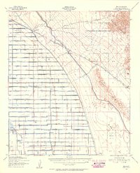
1940 · Iris
USGS Topo · 1:62,500
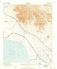
1940 · Frink
USGS Topo · 1:62,500
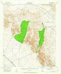
1940 · Iris Pass
USGS Topo · 1:62,500
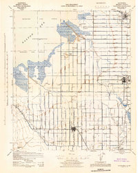
1944 · Calipatria
USGS Topo · 1:62,500
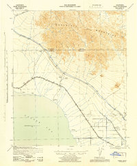
1944 · Frink
USGS Topo · 1:62,500
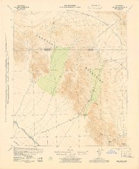
1945 · Iris Pass
USGS Topo · 1:62,500
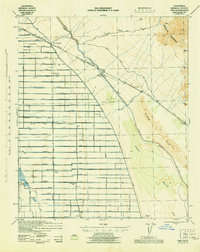
1945 · Iris
USGS Topo · 1:62,500
1954 · Salton Sea
USGS Topo · 1:250,000
1955 · Tortuga
USGS Topo · 1:24,000

1955 · Salton Sea
USGS Topo · 1:250,000