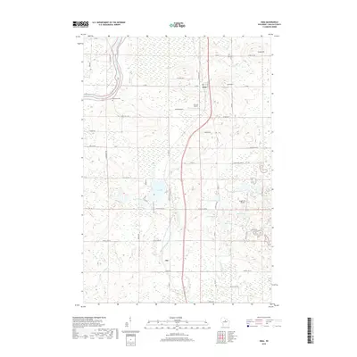
2018 Map of Irma
USGS Topo · Published 2018About this map
The Wisconsin River cuts through the northwest corner of this Lincoln County landscape, defining the topography near the settlement of Irma. This area is characterized by a high density of small glacial lakes and named wetlands, including Tug Lake, Horgen Lake, and Thompson Lake, which are interconnected by drainages such as Little Hay Meadow Cr. Local landmarks like Irma Hill and Chase Hill rise above the basin, providing a contrast to the water-rich lowlands.
Find a feature on this map
61 named features on this map. Tap any name to fly to it.
Don’t see what you’re looking for? This feature index may not catch every label — zoom into the map to look around manually.
Map Details
Editions of this 2018 Irma Map
This is the sole edition of this map. No revisions or reprints were ever made.
Other maps of this area

1899 · Wausau
USGS Topo · 1:125,000

1902 · Wausau
USGS Topo · 1:125,000

1902 · Marathon
USGS Topo · 1:125,000

1950 · Tomahawk
USGS Topo · 1:48,000

1950 · Spirit Falls
USGS Topo · 1:48,000

1951 · Merrill
USGS Topo · 1:48,000

1951 · Hamburg
USGS Topo · 1:48,000

1952 · Spirit Falls
USGS Topo · 1:48,000

1952 · Tomahawk
USGS Topo · 1:48,000

1954 · Iron Mountain
USGS Topo · 1:250,000