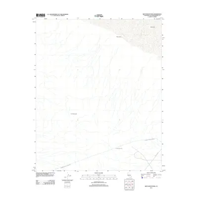
2012 Map of Iron Mountains
USGS Topo · Published 2012About this map
The Iron Mountains dominate this 2012 topographic study of the Mojave Desert landscape in San Bernardino County. A critical piece of infrastructure, the Colorado River Aqueduct traverses the southern portion of the quadrangle, disappearing into the subterranean Iron Mountain Tunnel as it cuts through the desert terrain. To the north, the elevation drops into the expansive Ward Valley, which terminates at the edge of the Danby Lake dry lakebed. This modern survey illustrates the intersection of significant water transport engineering and the natural geological formations of the southeastern California desert. The infrastructure is further defined by secondary access routes like Power Line Rd, which tracks alongside the electrical and water utility corridors that sustain the region.
Find a feature on this map
6 named features on this map. Tap any name to fly to it.
Don’t see what you’re looking for? This feature index may not catch every label — zoom into the map to look around manually.
Map Details
Editions of this 2012 Iron Mountains Map
This is the sole edition of this map. No revisions or reprints were ever made.
Other maps of this area

1942 · Amboy
USGS Topo · 1:250,000

1943 · Amboy
USGS Topo · 1:250,000
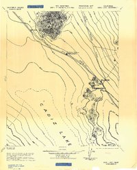
1943 · Cadiz Lake
USGS Topo · 1:62,500
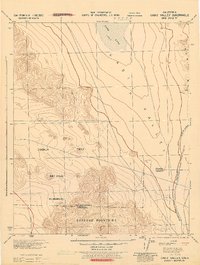
1943 · Cadiz Valley
USGS Topo · 1:62,500
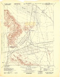
1943 · Iron Mountains
USGS Topo · 1:62,500

1954 · Needles
USGS Topo · 1:250,000
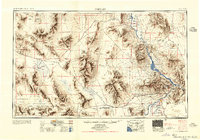
1956 · Needles
USGS Topo · 1:250,000
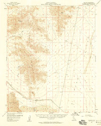
1956 · Milligan
USGS Topo · 1:62,500
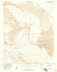
1956 · Iron Mountains
USGS Topo · 1:62,500
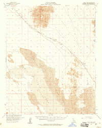
1956 · Cadiz Lake
USGS Topo · 1:62,500