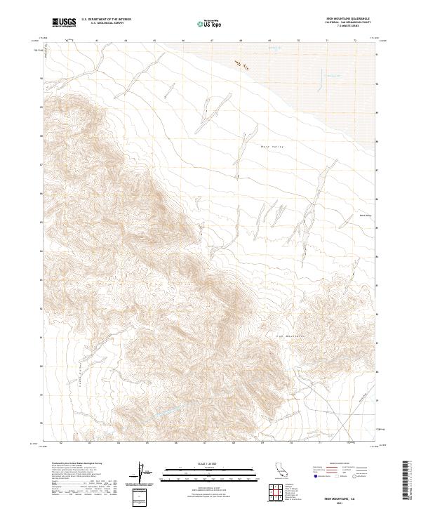
2021 Map of Iron Mountains
USGS Topo · Published 2021About this map
The Colorado River Aqueduct carves through the southern expanse of this desert landscape, representing a massive feat of mid-century engineering designed to transport water across the arid interior of San Bernardino County. To the north, the ephemeral bed of Danby Lake marks the lowest point of a wide basin where sediment and salt accumulate between mountain ranges. The terrain is dominated by the jagged peaks of the Iron Mountains and the Kilbeck Hills, which separate the expansive reaches of Ward Valley and Cadiz Valley. This 2021 survey illustrates a region defined by its isolation and specialized infrastructure, where the straight line of Power Line Rd and the path of the aqueduct are the primary signs of human intervention in an otherwise desolate geologic environment.
Find a feature on this map
13 named features on this map. Tap any name to fly to it.
Don’t see what you’re looking for? This feature index may not catch every label — zoom into the map to look around manually.
Map Details
Editions of this 2021 Iron Mountains Map
This is the sole edition of this map. No revisions or reprints were ever made.
Other maps of this area

1942 · Amboy
USGS Topo · 1:250,000

1943 · Amboy
USGS Topo · 1:250,000

1943 · Cadiz Lake
USGS Topo · 1:62,500

1943 · Cadiz Valley
USGS Topo · 1:62,500

1943 · Iron Mountains
USGS Topo · 1:62,500

1954 · Needles
USGS Topo · 1:250,000

1956 · Needles
USGS Topo · 1:250,000

1956 · Milligan
USGS Topo · 1:62,500

1956 · Iron Mountains
USGS Topo · 1:62,500

1956 · Cadiz Lake
USGS Topo · 1:62,500