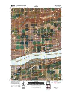
2011 Map of Irrigon
USGS Topo · Published 2011About this map
The Irrigon townsite occupies the southern banks of the Columbia River in Morrow County, where the landscape transitions from the broad river valley into the northern plateau. This 2011 survey captures the community's layout, anchored by the Irrigon Post Office and residential streets like NE Main Ave and E Knapp St. The local history is further documented through the Desert Lawn Memorial Cemetery, while the vital importance of water management in this arid region is visible in the path of the West Extension Irrigation Canal as it cuts across the southern portion of the quadrangle.
Find a feature on this map
17 named features on this map. Tap any name to fly to it.
Don’t see what you’re looking for? This feature index may not catch every label — zoom into the map to look around manually.
Map Details
Editions of this 2011 Irrigon Map
This is the sole edition of this map. No revisions or reprints were ever made.
Other maps of this area
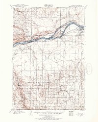
1906 · Blalock Island
USGS Topo · 1:125,000
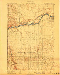
1908 · Blalock Island
USGS Topo · 1:125,000
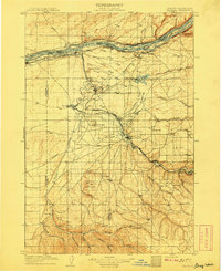
1908 · Umatilla
USGS Topo · 1:125,000
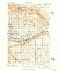
1915 · Prosser
USGS Topo · 1:125,000
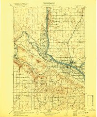
1917 · Pasco
USGS Topo · 1:125,000
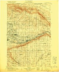
1917 · Prosser
USGS Topo · 1:125,000

1953 · Pendleton
USGS Topo · 1:250,000
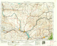
1953 · Walla Walla
USGS Topo · 1:250,000

1956 · Pendleton
USGS Topo · 1:250,000
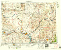
1958 · Walla Walla
USGS Topo · 1:250,000