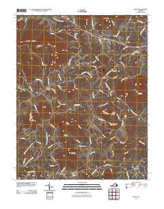
2010 Map of Irving
USGS Topo · Published 2010About this map
Goose Creek and its many tributaries, including Reed Creek and Bore Auger Creek, wind through this mountainous landscape of Bedford County. The terrain is defined by prominent peaks such as Porter Mountain, Bramletts Mountain, and Peach Orchard Mountain. In the northern portion of the sheet, the settlement of Irving sits along the roadway, while Union and Shady Grove occupy the central valleys. Further south, the community of Chamblissburg serves as a local hub near New Hope Cemetery. Family history and local navigation are highlighted by landmarks like Tate Cemetery and the Rocky Ford crossing. The map reveals a network of rural routes, such as Simmons Mill Rd and Johnson School Rd, that link these isolated settlements across the ridges and runs of the Virginia countryside.
Find a feature on this map
73 named features on this map. Tap any name to fly to it.
Don’t see what you’re looking for? This feature index may not catch every label — zoom into the map to look around manually.
Map Details
Editions of this 2010 Irving Map
This is the sole edition of this map. No revisions or reprints were ever made.
Other maps of this area

1890 · Roanoke
USGS Topo · 1:125,000

1891 · Roanoke
USGS Topo · 1:125,000

1929 · Roanoke
USGS Topo · 1:48,000

1933 · Roanoke
USGS Topo · 1:62,500

1947 · Roanoke
USGS Topo · 1:250,000

1950 · Peaks of Otter
USGS Topo · 1:62,500

1951 · Boones Mill
USGS Topo · 1:62,500

1951 · Moneta
USGS Topo · 1:62,500

1959 · Roanoke
USGS Topo · 1:250,000

1963 · Roanoke
USGS Topo · 1:250,000