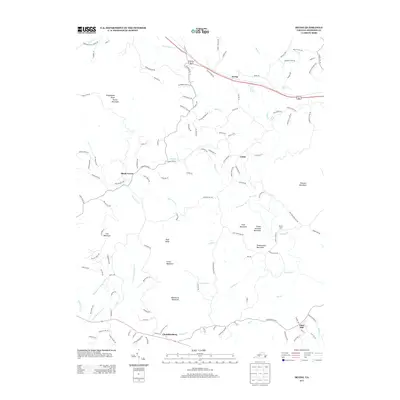
2013 Map of Irving
USGS Topo · Published 2013About this map
Porter Mountain and Wigginton Knob anchor the western elevations of this Bedford County landscape, where rural life is defined by small settlements and an intricate drainage system. The community of Irving sits in the north along a corridor that follows the valley of Goose Cr, while Shady Grove and Union occupy the central reaches. These areas are characterized by a network of winding roads like Bore Auger Rd and Mountain View Church Rd, which trace the contours between prominent peaks such as Peach Orchard Mountain and Thaxton Mountain.
Find a feature on this map
131 named features on this map. Tap any name to fly to it.
Don’t see what you’re looking for? This feature index may not catch every label — zoom into the map to look around manually.
Map Details
Editions of this 2013 Irving Map
This is the sole edition of this map. No revisions or reprints were ever made.
Other maps of this area

1890 · Roanoke
USGS Topo · 1:125,000

1891 · Roanoke
USGS Topo · 1:125,000

1929 · Roanoke
USGS Topo · 1:48,000

1933 · Roanoke
USGS Topo · 1:62,500

1947 · Roanoke
USGS Topo · 1:250,000

1950 · Peaks of Otter
USGS Topo · 1:62,500

1951 · Boones Mill
USGS Topo · 1:62,500

1951 · Moneta
USGS Topo · 1:62,500

1959 · Roanoke
USGS Topo · 1:250,000

1963 · Roanoke
USGS Topo · 1:250,000