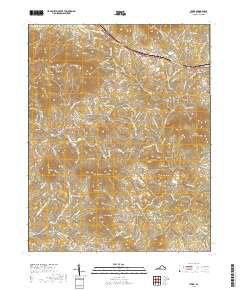
2019 Map of Irving
USGS Topo · Published 2019About this map
Chamblissburg and Irving anchor this rural landscape in Bedford County, where the Blue Ridge foothills transition into a complex network of peaks and drainages. The area is defined by significant topographical landmarks such as Porter Mtn, Bramletts Mtn, and Thaxton Mtn, which separate the various agricultural and residential pockets. A notable cultural marker is the label for Beales Treasure, referencing a piece of local legend that has drawn cryptographers and treasure hunters to this region for decades.
Find a feature on this map
123 named features on this map. Tap any name to fly to it.
Don’t see what you’re looking for? This feature index may not catch every label — zoom into the map to look around manually.
Map Details
Editions of this 2019 Irving Map
This is the sole edition of this map. No revisions or reprints were ever made.
Other maps of this area

1890 · Roanoke
USGS Topo · 1:125,000

1891 · Roanoke
USGS Topo · 1:125,000

1929 · Roanoke
USGS Topo · 1:48,000

1933 · Roanoke
USGS Topo · 1:62,500

1947 · Roanoke
USGS Topo · 1:250,000

1950 · Peaks of Otter
USGS Topo · 1:62,500

1951 · Boones Mill
USGS Topo · 1:62,500

1951 · Moneta
USGS Topo · 1:62,500

1959 · Roanoke
USGS Topo · 1:250,000

1963 · Roanoke
USGS Topo · 1:250,000