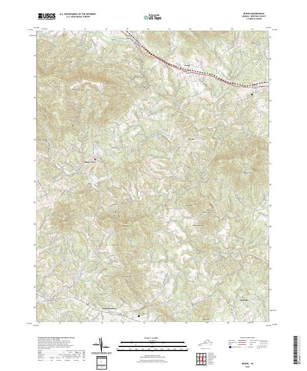
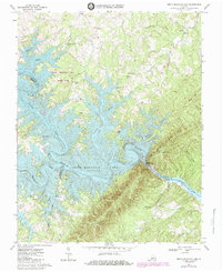
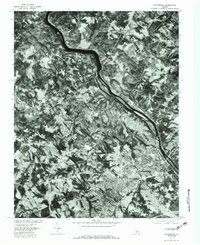
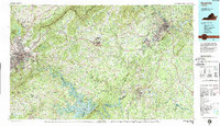
2022 Map of Irving
USGS Topo · Published 2022About this map
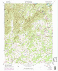
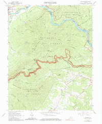
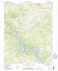
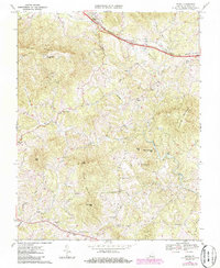
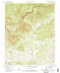
Chamblissburg and Irving anchor this survey of Bedford County, where the topography is defined by prominent peaks like Porter Mtn and Thaxton Mtn. The landscape is a network of ridges and watercourses, including the headwaters of Goose Creek and its many tributaries such as Enochs Cr and Bore Auger Cr. Historically significant transport routes cross the northern terrain, most notably the W Lynchburg Salem Tpke, which runs parallel to US Hwy 221 460. Small communities and family landmarks are scattered throughout the valleys, providing essential locations for genealogical research. Local history is preserved at sites like Tate Cem near the eastern border and New Hope Cem further south. The map illustrates a rural Virginia landscape where development remains concentrated along established road corridors like Stewartsville Rd, while the higher elevations of Bramletts Mtn and Peach Orchard Mtn remain largely undeveloped.
Find a feature on this map
36 named features on this map. Tap any name to fly to it.
Don’t see what you’re looking for? This feature index may not catch every label — zoom into the map to look around manually.
Map Details
Editions of this 2022 Irving Map
This is the sole edition of this map. No revisions or reprints were ever made.
Historical Maps of Flint Hill Through Time
27 maps found
1950 Goode
Bedford County, VA
1950 Peaks of Otter
Bedford County, VA
1963 Lynchburg
Bedford County, VA
1965 Boonsboro
Bedford County, VA
1965 Goode
Bedford County, VA
1965 Sedalia
Bedford County, VA
1966 Huddleston
Bedford County, VA
1966 Snowden
Bedford County, VA
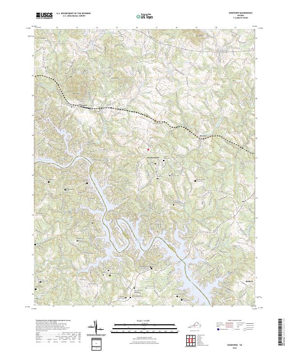
1967 Goodview
Bedford County, VA
1967 Irving
Bedford County, VA
1967 Peaks Of Otter
Bedford County, VA
1967 Smith Mountain Dam
Bedford County, VA
1977 Lynchburg
Bedford County, VA
1977 Peaks of Otter
Bedford County, VA
1977 Smith Mountain Dam
Bedford County, VA
1985 Roanoke
Bedford County, VA
1999 Snowden
Bedford County, VA
2022 Boonsboro
Bedford County, VA
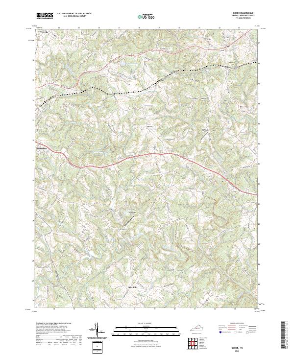
2022 Goode
Bedford County, VA
2022 Goodview
Bedford County, VA
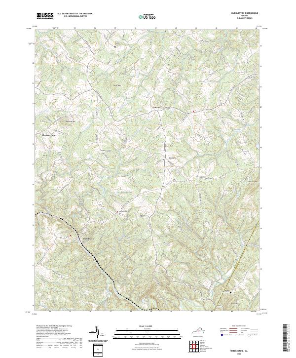
2022 Huddleston
Bedford County, VA
2022 Irving
Bedford County, VA
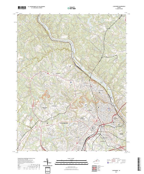
2022 Lynchburg
Bedford County, VA
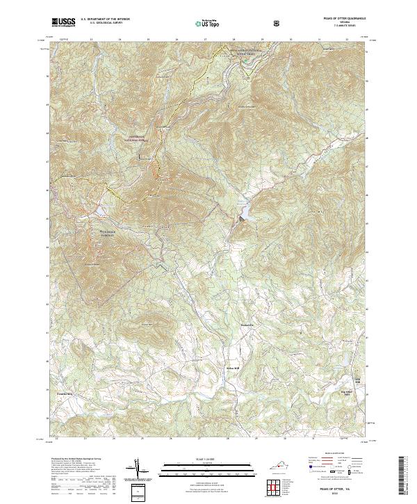
2022 Peaks of Otter
Bedford County, VA
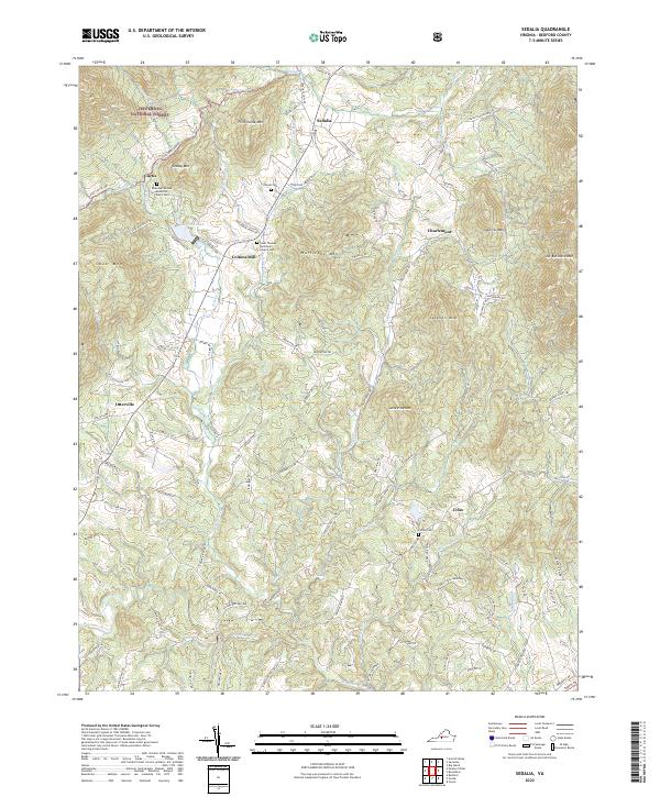
2022 Sedalia
Bedford County, VA
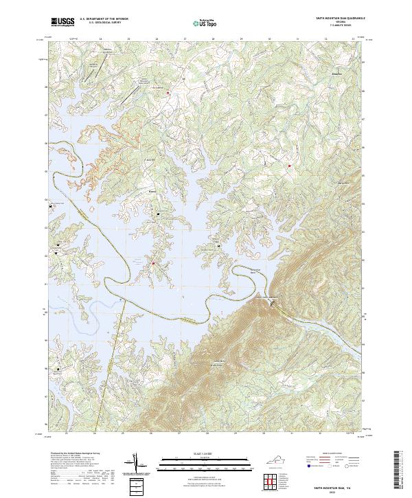
2022 Smith Mountain Dam
Bedford County, VA
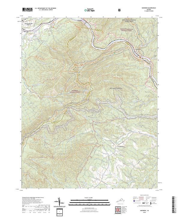
2022 Snowden
Bedford County, VA