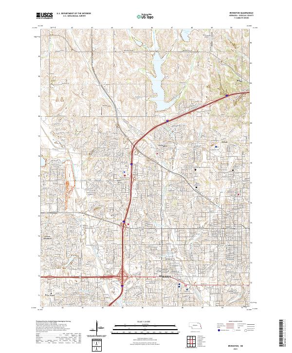
2021 Map of Irvington
USGS Topo · Published 2021About this map
Little Papillion Cr and its tributaries, including Boettger Cr and E Knight Cr, carve through the rolling landscape of Northwest Omaha. This contemporary survey illustrates the dense suburban expansion of Douglas County, where historic communities like Irvington and Debolt have been integrated into the city's residential grid. The map highlights a significant academic and social footprint, featuring the Boys Town campus in the southwest and the University of Nebraska at Omaha - Dodge Campus in the southeast.
Find a feature on this map
47 named features on this map. Tap any name to fly to it.
Don’t see what you’re looking for? This feature index may not catch every label — zoom into the map to look around manually.
Map Details
Editions of this 2021 Irvington Map
This is the sole edition of this map. No revisions or reprints were ever made.
Other maps of this area

1893 · Omaha
USGS Topo · 1:62,500

1893 · Fremont
USGS Topo · 1:125,000

1896 · Fremont
USGS Topo · 1:125,000

1954 · Omaha
USGS Topo · 1:250,000

1955 · Fremont
USGS Topo · 1:250,000

1956 · Gretna
USGS Topo · 1:24,000

1956 · Ralston
USGS Topo · 1:24,000

1956 · Irvington
USGS Topo · 1:24,000

1956 · Omaha North
USGS Topo · 1:24,000

1956 · Omaha South
USGS Topo · 1:24,000