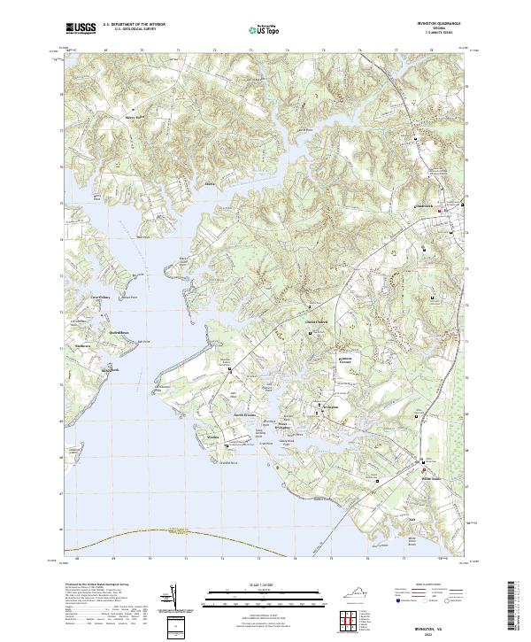
2022 Map of Irvington
USGS Topo · Published 2022About this map
The Eastern Branch Corrotoman River and its intricate network of coves define the coastal landscape of Lancaster County in this contemporary survey. From the commercial hub of Kilmarnock to the historic water-oriented communities of Irvington and White Stone, the map details a region where the geography of the Northern Neck remains centered on the water. Significant genealogical sites are documented throughout, including the landmark Christ Church and its associated Christ Church Cem, along with numerous smaller burial grounds such as Grace Cem and Woodlawn Cem. The land is segmented by family-named points and necks, like Corrotoman Neck and John Neck, illustrating a centuries-old pattern of riparian land division. Modern institutional presence is noted at the Rappahannock Community College Kilmarnock Center, while the presence of Slabtown and Millenbeck reflects the area's long-standing residential character.
Find a feature on this map
195 named features on this map. Tap any name to fly to it.
Don’t see what you’re looking for? This feature index may not catch every label — zoom into the map to look around manually.
Map Details
Editions of this 2022 Irvington Map
This is the sole edition of this map. No revisions or reprints were ever made.
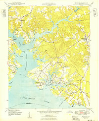
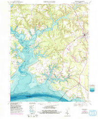
Historical Maps of Queenstown Through Time
3 maps found