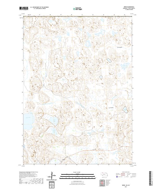
2021 Map of Irwin
USGS Topo · Published 2021About this map
Irwin is situated within the expansive wetland and prairie landscape of Cherry County, Nebraska, where a high concentration of natural lakes and drainage systems defines the terrain. The presence of Horseshoe Drainage Ditch cutting through the center of the sheet indicates managed water control across low-lying areas like Slim Meadow and Scott Meadow. This region is characterized by significant aquatic features including Goose Lake, Carpenter Lake, and the adjacent North Twin Lake and South Twin Lake, which provide a detailed record of the local hydrology.
Find a feature on this map
20 named features on this map. Tap any name to fly to it.
Don’t see what you’re looking for? This feature index may not catch every label — zoom into the map to look around manually.
Map Details
Editions of this 2021 Irwin Map
This is the sole edition of this map. No revisions or reprints were ever made.
Other maps of this area

1950 · Irwin
USGS Topo · 1:62,500

1951 · Irwin
USGS Topo · 1:62,500

1955 · Hot Springs
USGS Topo · 1:250,000

1955 · Alliance
USGS Topo · 1:250,000

1955 · Martin
USGS Topo · 1:250,000

1957 · Alliance
USGS Topo · 1:250,000

1957 · Valentine
USGS Topo · 1:250,000

1958 · Martin
USGS Topo · 1:250,000

1958 · Alliance
USGS Topo · 1:250,000

1959 · Valentine
USGS Topo · 1:250,000