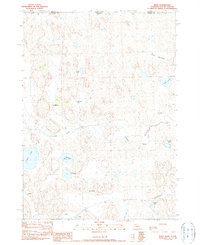
1990 Map of Irwin
USGS Topo · Published 1990About this map
Isolated ranching outposts and a complex network of seasonal lakes and meadows define this borderland region in the late 20th century. The settlement of Irwin serves as a small anchor in a landscape dominated by family-named landholdings, including Lefler Ranch, Hathorn Ranch, and McGinley Ranch. This 1990 survey captures the hydrological character of the Sandhills, where water management is visible through features like the Horseshoe Drainage Ditch and the Slim Meadow Ditch.
Find a feature on this map
21 named features on this map. Tap any name to fly to it.
Don’t see what you’re looking for? This feature index may not catch every label — zoom into the map to look around manually.
Map Details
Editions of this 1990 Irwin Map
This is the sole edition of this map. No revisions or reprints were ever made.
Other maps of this area

1950 · Irwin
USGS Topo · 1:62,500

1951 · Irwin
USGS Topo · 1:62,500

1955 · Hot Springs
USGS Topo · 1:250,000

1955 · Alliance
USGS Topo · 1:250,000

1955 · Martin
USGS Topo · 1:250,000

1957 · Alliance
USGS Topo · 1:250,000

1957 · Valentine
USGS Topo · 1:250,000

1958 · Martin
USGS Topo · 1:250,000

1958 · Alliance
USGS Topo · 1:250,000

1959 · Valentine
USGS Topo · 1:250,000