Loading...
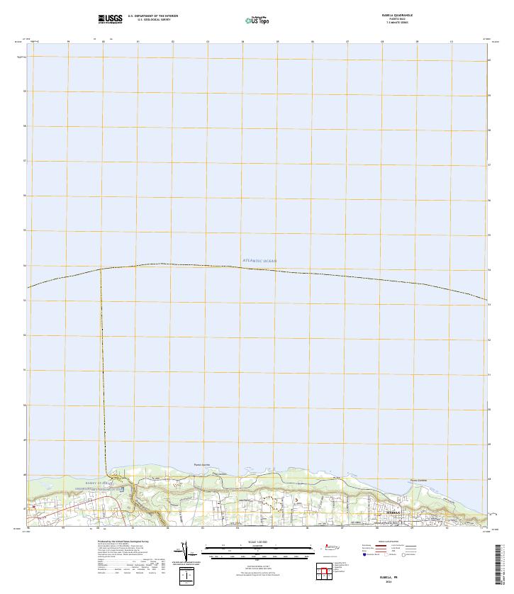
Loading map...2024 Map of Isabela
USGS Topo · Published 2024About this map
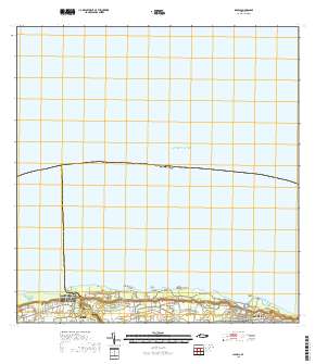
The northern shoreline of Puerto Rico meets the Atlantic Ocean in this detailed survey of the Isabela municipality. The landscape is characterized by its dramatic coastal landmarks, including the rocky outcrop of Punta Jacinto and the nearby Foso Jacinto. To the west, the Ramey AF Solar Observatory Research Site represents a significant scientific installation on the border between Isabela and Aguadilla, illustrating the region's importance to atmospheric and solar studies.
Find a feature on this map
36 named features on this map. Tap any name to fly to it.
Don’t see what you’re looking for? This feature index may not catch every label — zoom into the map to look around manually.
Map Details
Date Portrayed2024
Date Published2024
PublisherU.S. Geological Survey
Map TypeTopographic
Scale1:20,000
Physical Dimensions29 x 33.5 inches
Editions of this 2024 Isabela Map
This is the sole edition of this map. No revisions or reprints were ever made.
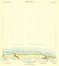
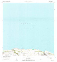
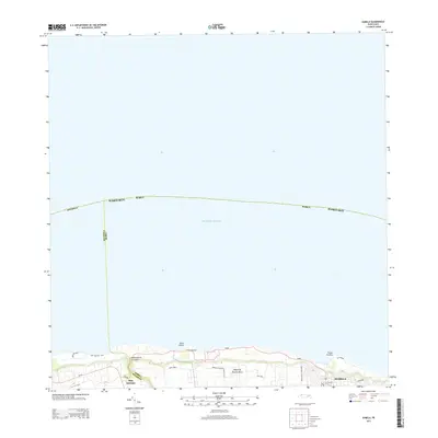
Historical Maps of Isabela Through Time
5 maps found
Featured Locations
- Isabela, Isabela
- Manuel María Corchado y Juarbe, Isabela
- Sector Quique Bravo, Isabela
- Reparto Santa María, Isabela
- Maleza Alta, Aguadilla
Source Details
SourceU.S. Geological Survey
CopyrightPublic Domain