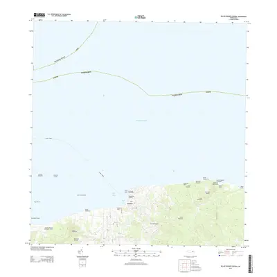
2013 Map of Isla De Vieques Central
USGS Topo · Published 2013About this map
Isla de Vieques is centered here during a period of transition in the early twenty-first century, showing the island's northern coastline and the principal settlement of Vieques. The landscape is defined by its rugged topography, featuring prominent peaks such as Cerro Martineau and Cerro del Muerto. Along the northern shore, the El Faro de Punta Mulas stands near Bahia de Mulas, serving as a critical navigational landmark.
Find a feature on this map
45 named features on this map. Tap any name to fly to it.
Don’t see what you’re looking for? This feature index may not catch every label — zoom into the map to look around manually.
Map Details
Editions of this 2013 Isla De Vieques Central Map
This is the sole edition of this map. No revisions or reprints were ever made.
Other maps of this area

1943 · Island Of Vieques
USGS Topo · 1:30,000

1946 · Punta Puerca
USGS Topo · 1:30,000

1951 · Island Of Vieques
USGS Topo · 1:30,000

1952 · Punta Puerca
USGS Topo · 1:30,000
1957 · Punta Puerca
USGS Topo · 1:20,000
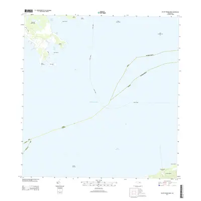
2013 · Isla De Vieques West
USGS Topo · 1:20,000
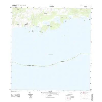
2013 · Isla De Vieques Central OE S
USGS Topo · 1:20,000
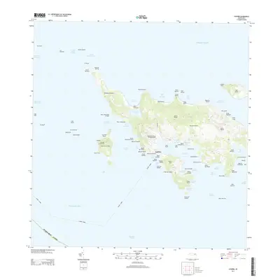
2013 · Culebra
USGS Topo · 1:20,000
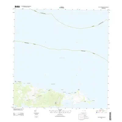
2013 · Isla De Vieques East
USGS Topo · 1:20,000
2013 · Isla De Vieques East OE S
USGS Topo · 1:20,000
Featured Places
- Isabel Segunda, Vieques
- Quintas de Santa Elena, Vieques
- Bravos de Boston, Vieques
- Monte Carmelo, Vieques
- Isabel II, Vieques