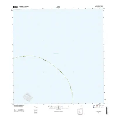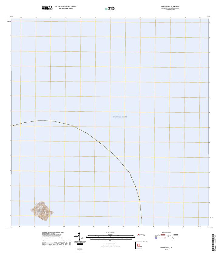
2018 Map of Isla Desecheo
USGS Topo · Published 2018About this map
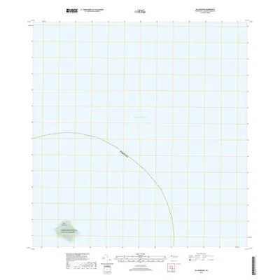
Isla Desecheo emerges from the Atlantic Ocean in this 2018 survey, which focuses on the small, uninhabited landmass located west of the main island of Puerto Rico. The entire island is designated as the Desecheo National Wildlife Refuge, reflecting its status as a protected conservation area. The topography reveals a concentrated area of steep elevation changes on the island itself, surrounded by the expansive marine environment within the Puerto Rico maritime boundary. This map provides a precise record of the shoreline and terrain of the refuge at a scale of 1:20,000, serving as a vital document for those studying the geography of the Mona Passage or the environmental history of these protected offshore territories.
Find a feature on this map
4 named features on this map. Tap any name to fly to it.
Don’t see what you’re looking for? This feature index may not catch every label — zoom into the map to look around manually.
Map Details
Editions of this 2018 Isla Desecheo Map
This is the sole edition of this map. No revisions or reprints were ever made.