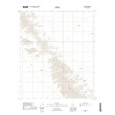
2018 Map of Isla Pinta
USGS Topo · Published 2018About this map
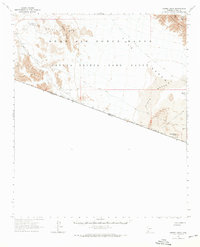
Sierra Pinta dominates this arid landscape, its steep contours rising sharply above the surrounding desert floor. This 2018 survey documents a remote corner of Yuma County where the high peaks of the range are cut by distinct drainages like Hummingbird Canyon and Chia Canyon. The terrain is characterized by the transition from the broad, flat Tule Desert to the west into the more complex geography of the Mohawk Valley to the northeast.
Find a feature on this map
14 named features on this map. Tap any name to fly to it.
Don’t see what you’re looking for? This feature index may not catch every label — zoom into the map to look around manually.
Map Details
Editions of this 2018 Isla Pinta Map
This is the sole edition of this map. No revisions or reprints were ever made.
Other maps of this area

1953 · Ajo
USGS Topo · 1:250,000

1957 · Ajo
USGS Topo · 1:250,000

1958 · Ajo
USGS Topo · 1:250,000

1962 · Ajo
USGS Topo · 1:250,000

1963 · Ajo
USGS Topo · 1:250,000
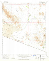
1965 · O'Neill Hills
USGS Topo · 1:62,500
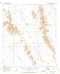
1965 · Granite Mountains
USGS Topo · 1:62,500
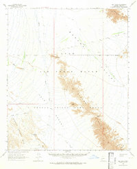
1965 · Isla Pinta
USGS Topo · 1:62,500
1965 · Sierra Arida
USGS Topo · 1:62,500
1967 · Ajo
USGS Topo · 1:250,000