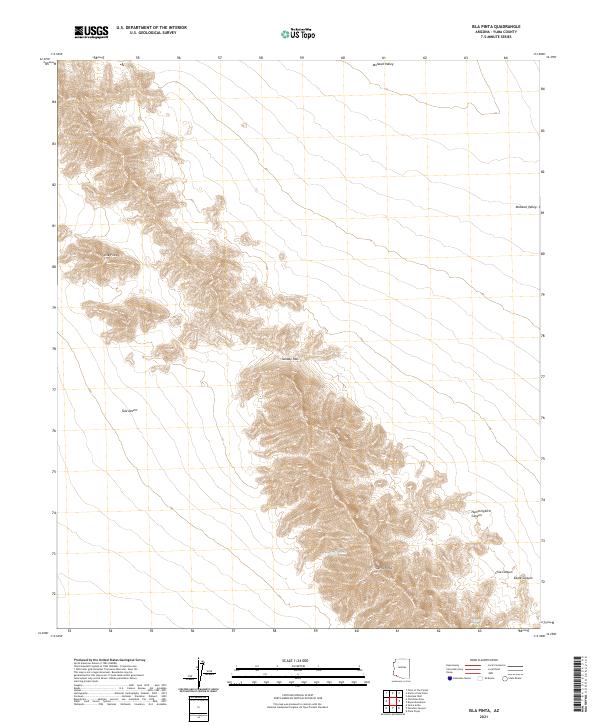
2021 Map of Isla Pinta
USGS Topo · Published 2021About this map
Sierra Pinta and the Isla Pinta formation dominate this arid corner of Arizona, showing a landscape defined by narrow canyons and isolated water sources. The map details a transition from the broad Mohawk Valley in the north to the expansive Tule Desert in the south, separated by the steep ascent of Sunday Pass. Researchers can identify critical survival points for desert travel, such as Heart Tank and Eagle Tank, which are essential features in this water-scarce environment. Several distinct drainages like Hummingbird Canyon, Chia Canyon, and Eagle Canyon cut through the central highlands, providing clear evidence of the erosion patterns that shape the regional geography. This survey provides a precise look at the township and range divisions across the Yuma County desert, preserving the nomenclature of the ridges and washes that have guided travelers through this territory for decades.
Find a feature on this map
14 named features on this map. Tap any name to fly to it.
Don’t see what you’re looking for? This feature index may not catch every label — zoom into the map to look around manually.
Map Details
Editions of this 2021 Isla Pinta Map
This is the sole edition of this map. No revisions or reprints were ever made.
Other maps of this area

1953 · Ajo
USGS Topo · 1:250,000

1957 · Ajo
USGS Topo · 1:250,000

1958 · Ajo
USGS Topo · 1:250,000

1962 · Ajo
USGS Topo · 1:250,000

1963 · Ajo
USGS Topo · 1:250,000

1965 · O'Neill Hills
USGS Topo · 1:62,500

1965 · Granite Mountains
USGS Topo · 1:62,500

1965 · Isla Pinta
USGS Topo · 1:62,500

1965 · Sierra Arida
USGS Topo · 1:62,500

1967 · Ajo
USGS Topo · 1:250,000