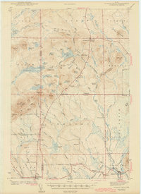
1942 Map of Island Falls
USGS Topo · Published 1942About this map
The timberlands and rugged townships of the Penobscot and Aroostook County line are captured here during a period of transition for northern Maine's wilderness economy. The Bangor and Aroostook RR passes through the settlement at Island Falls, which serves as a vital link between the southern agricultural plains and the vast northern woods. Further inland, the presence of numerous neighborhood schoolhouses, such as Davis Sch, Myrick Sch, and Hackett Sch, illustrates the early 20th-century density of rural family settlements that supported the region's logging and farming.
Find a feature on this map
96 named features on this map. Tap any name to fly to it.
Don’t see what you’re looking for? This feature index may not catch every label — zoom into the map to look around manually.
Map Details
Editions of this 1942 Island Falls Map
This is the sole edition of this map. No revisions or reprints were ever made.
Other maps of this area
1935 · Howe Brook
USGS Topo · 1:48,000
1937 · Smyrna Mills
USGS Topo · 1:62,500
1939 · Howe Brook
USGS Topo · 1:62,500
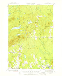
1940 · Island Falls
USGS Topo · 1:62,500
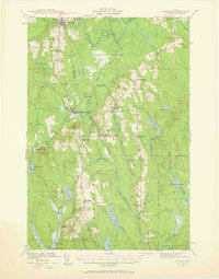
1940 · Sherman
USGS Topo · 1:62,500
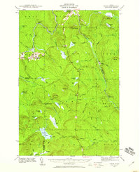
1940 · Oxbow
USGS Topo · 1:62,500
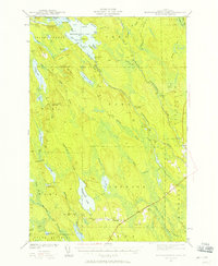
1941 · Mattawamkeag Lake
USGS Topo · 1:62,500
1942 · Oxbow
USGS Topo · 1:62,500
1942 · Sherman
USGS Topo · 1:62,500
1943 · Mattawamkeag Lake
USGS Topo · 1:62,500