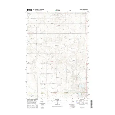
2014 Map of Island Lake
USGS Topo · Published 2014About this map
The Huron National Forest dominates this section of Northern Michigan, where a dense network of glacial kettle lakes and small streams defines the landscape. The interior is dotted with significant water bodies including Loon Lake, Wagner Lake, and Island Lake, which sit amidst a grid of forest service roads and local routes like Zimowske Rd and State Hwy 33. For those researching local history, the map identifies specific landmarks like the Union Corners Cem and the Hughes Grave, providing precise locations for family history and genealogy.
Find a feature on this map
50 named features on this map. Tap any name to fly to it.
Don’t see what you’re looking for? This feature index may not catch every label — zoom into the map to look around manually.
Map Details
Editions of this 2014 Island Lake Map
This is the sole edition of this map. No revisions or reprints were ever made.
Other maps of this area

1954 · Traverse City
USGS Topo · 1:250,000

1958 · Traverse City
USGS Topo · 1:250,000

1963 · Luzerne
USGS Topo · 1:24,000

1963 · Red Oak
USGS Topo · 1:24,000

1965 · Damon
USGS Topo · 1:24,000

1965 · St. Helen NE
USGS Topo · 1:24,000

1965 · Rose City
USGS Topo · 1:24,000

1972 · Mio
USGS Topo · 1:24,000

1972 · Mack Lake
USGS Topo · 1:24,000
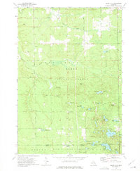
1972 · Island Lake
USGS Topo · 1:24,000