
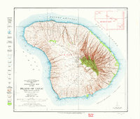
1923 Map of Island of Lanai
USGS Topo · Published 1923About this map
The central uplands of Lanai City anchor this 1923 survey of the Island of Lanai, capturing the island's landscape during the early development of the pineapple industry. Topography by Kostka, Mudd, J.F. McCook, and H.B. Smith reveals a complex network of deep ravines like Maunalei Gulch and Hauola Gulch that drain the central volcanic heights toward the Auau Channel. Along the eastern shore, the presence of the Keomuku PO and the Halepalaoa Landing indicates the earlier coastal centers of activity before the primary settlement shifted inland.
Find a feature on this map
88 named features on this map. Tap any name to fly to it.
Don’t see what you’re looking for? This feature index may not catch every label — zoom into the map to look around manually.
Map Details
Editions of this 1923 Island of Lanai Map
2 editions found
Other maps of this area

1925 · Island of Lanai
USGS Topo · 1:62,500

1954 · Maui
USGS Topo · 1:250,000

1966 · Maui
USGS Topo · 1:250,000

1974 · Maui
USGS Topo · 1:250,000
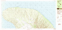
1984 · Lanai North
USGS Topo · 1:25,000
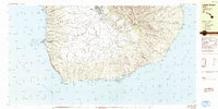
1984 · Lanai South
USGS Topo · 1:25,000
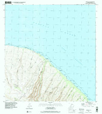
1991 · Makalau
USGS Topo · 1:24,000
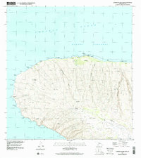
1991 · Garden Of The Gods
USGS Topo · 1:24,000
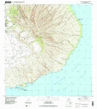
1992 · Haalelepaakai
USGS Topo · 1:24,000
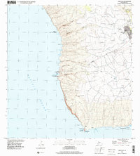
1992 · Lanai City
USGS Topo · 1:24,000