
1925 Map of Island of Lanai
USGS Topo · Published 1925About this map
Lanai City stands as the central hub of this island survey, surrounded by the traditional land divisions of the Lahaina District, including Kamoku and Kaohai. The landscape is defined by its dramatic transition from the high interior peaks like Mauna o Umi and Puu Ulaula down to the sea, where deep gulches like Maunalei Gulch and Hauola Gulch carve into the coast. Along the windward shore, the settlement of Keomuku P O and the Kaa Fishpond reflect a long-standing coastal presence, while Halepalaoa Landing provided essential maritime access. A system of pipelines and roads radiates from the central basin, illustrating the early 20th-century development of the island's infrastructure. To the west, the sheer cliffs of Pali Kaholo meet the Pacific Ocean, while landmarks like Kotokolo Cave and Kanepuu offer specific points of interest for historical and geographical study.
Find a feature on this map
107 named features on this map. Tap any name to fly to it.
Don’t see what you’re looking for? This feature index may not catch every label — zoom into the map to look around manually.
Map Details
Editions of this 1925 Island of Lanai Map
This is the sole edition of this map. No revisions or reprints were ever made.
Other maps of this area

1923 · Island of Lanai
USGS Topo · 1:31,680

1954 · Maui
USGS Topo · 1:250,000

1966 · Maui
USGS Topo · 1:250,000

1974 · Maui
USGS Topo · 1:250,000
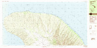
1984 · Lanai North
USGS Topo · 1:25,000
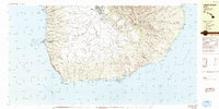
1984 · Lanai South
USGS Topo · 1:25,000
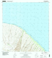
1991 · Makalau
USGS Topo · 1:24,000
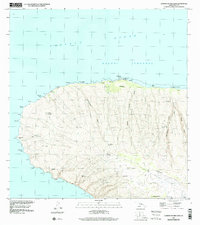
1991 · Garden Of The Gods
USGS Topo · 1:24,000
1992 · Haalelepaakai
USGS Topo · 1:24,000
1992 · Lanai City
USGS Topo · 1:24,000