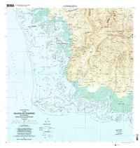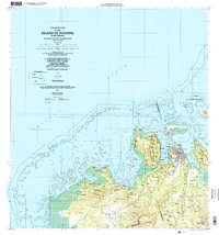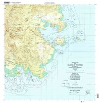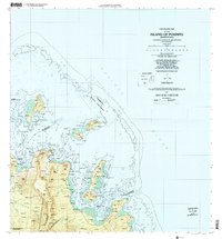
2001 Map of Island Of Pohnpei (Northeast)
USGS Topo · Published 2002About this map
Sapwtik Marine Sanctuary and the surrounding coastal waters of northeastern Pohnpei dominate this topographic study, reflecting a landscape defined by significant maritime conservation and dense interior forest management. The interior is anchored by the Pohnpei Watershed Forest Reserve, where 4WD trails provide the only terrestrial access through the island's high elevation terrain. Along the shoreline, settlements like Nindol and Awak Powe are situated between the rising mountain slopes and the extensive coral reefs that line the coast.
Find a feature on this map
155 named features on this map. Tap any name to fly to it.
Don’t see what you’re looking for? This feature index may not catch every label — zoom into the map to look around manually.
Map Details
Editions of this 2001 Island Of Pohnpei (Northeast) Map
This is the sole edition of this map. No revisions or reprints were ever made.