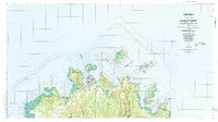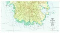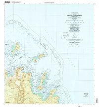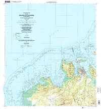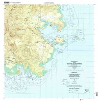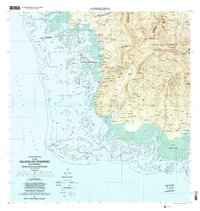
2001 Map of Island Of Pohnpei (Southwest)
USGS Topo · Published 2002About this map
The Pohnpei Watershed Forest Reserve dominates the interior highlands of the island's southwestern coast, where steep slopes transition into a complex system of mangroves and coral reefs. This coastal environment is defined by extensive protected areas, including the Pwudoi Marine Sanctuary and Kehpara Marine Sanctuary, which safeguard the fringing reef and tidal inlets like Dauen Tomwara. Small coastal settlements and homesteads such as Pahn Lahpar, Sekeren, and Wenik are situated at the foothills of the interior peaks.
Find a feature on this map
177 named features on this map. Tap any name to fly to it.
Don’t see what you’re looking for? This feature index may not catch every label — zoom into the map to look around manually.
Map Details
Editions of this 2001 Island Of Pohnpei (Southwest) Map
This is the sole edition of this map. No revisions or reprints were ever made.