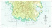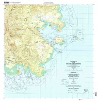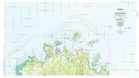
1983 Map of Island Of Ponape (North Half)
USGS Topo · Published 1983About this map
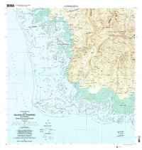
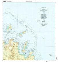
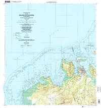
Kolonia serves as the focal point of this northern half of the island, where the urban settlement meets the extensive Coral Reef and lagoon systems. The geography is defined by a dense concentration of volcanic peaks known locally as 'Dolen', including the prominent Deke Sokehs and Dolen Takaiu. The island’s interior is a complex network of river systems like Pilen Nanpil and Pilen Meitik that drain through the municipal districts of Net, Uh, and Sokehs. Outside the main town, smaller settlements such as Palikir and Ohwa are situated along the coast, connected by a developing road system that circumnavigates the steep terrain. Mapping of these remote Pacific island environments by the USGS was critical during this era for infrastructure and resource management within the Federated States of Micronesia.
Find a feature on this map
61 named features on this map. Tap any name to fly to it.
Don’t see what you’re looking for? This feature index may not catch every label — zoom into the map to look around manually.
Map Details
Editions of this 1983 Island Of Ponape (North Half) Map
This is the sole edition of this map. No revisions or reprints were ever made.