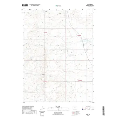
2017 Map of Islay
USGS Topo · Published 2017About this map
Islay and the surrounding high plains of Laramie County are defined by a complex network of waterways and ranching infrastructure in the early 21st century. The landscape is dominated by the various branches of Lodgepole Cr, including the North, Middle, and South forks, which cut through the undulating terrain near Cheyenne Pass. The presence of Chadwick Reservoir Number 2 and Chadwick Ditch Number 1 illustrates the critical role of water management in this high-altitude environment.
Find a feature on this map
30 named features on this map. Tap any name to fly to it.
Don’t see what you’re looking for? This feature index may not catch every label — zoom into the map to look around manually.
Map Details
Editions of this 2017 Islay Map
This is the sole edition of this map. No revisions or reprints were ever made.
Other maps of this area
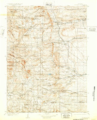
1905 · Sherman
USGS Topo · 1:125,000
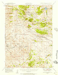
1948 · Sherman Mountains
USGS Topo · 1:62,500
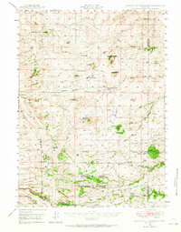
1948 · Ragged Top Mountain
USGS Topo · 1:62,500
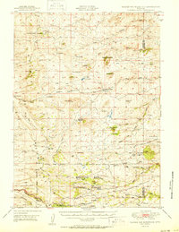
1950 · Ragged Top Mountain
USGS Topo · 1:62,500
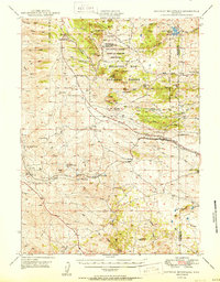
1950 · Sherman Mountains
USGS Topo · 1:62,500
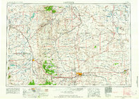
1954 · Cheyenne
USGS Topo · 1:250,000
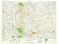
1958 · Cheyenne
USGS Topo · 1:250,000
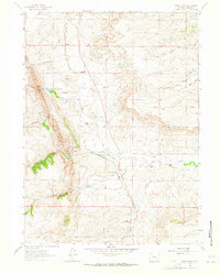
1962 · Horse Creek
USGS Topo · 1:24,000
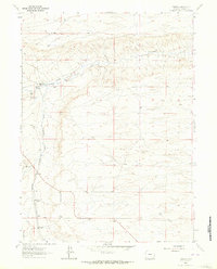
1962 · Federal
USGS Topo · 1:24,000
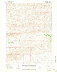
1962 · Dereemer Ranch
USGS Topo · 1:24,000