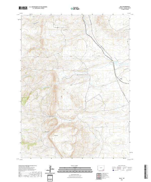
2021 Map of Islay
USGS Topo · Published 2021About this map
Islay and the Dereemer Ranch anchor this landscape in Laramie County, where the high plains transition into more complex drainage patterns. The area is defined by the headwaters of the Lodgepole Creek system, including N Lodgepole Cr, Middle Lodgepole Cr, and S Lodgepole Cr. These streams carve through the terrain, creating a network of gulches and draws such as Tromley Gulch and Parker Gulch that have historically guided movement through this part of Wyoming.
Find a feature on this map
25 named features on this map. Tap any name to fly to it.
Don’t see what you’re looking for? This feature index may not catch every label — zoom into the map to look around manually.
Map Details
Editions of this 2021 Islay Map
This is the sole edition of this map. No revisions or reprints were ever made.
Other maps of this area

1905 · Sherman
USGS Topo · 1:125,000

1948 · Sherman Mountains
USGS Topo · 1:62,500

1948 · Ragged Top Mountain
USGS Topo · 1:62,500

1950 · Ragged Top Mountain
USGS Topo · 1:62,500

1950 · Sherman Mountains
USGS Topo · 1:62,500

1954 · Cheyenne
USGS Topo · 1:250,000

1958 · Cheyenne
USGS Topo · 1:250,000

1962 · Horse Creek
USGS Topo · 1:24,000

1962 · Federal
USGS Topo · 1:24,000

1962 · Dereemer Ranch
USGS Topo · 1:24,000