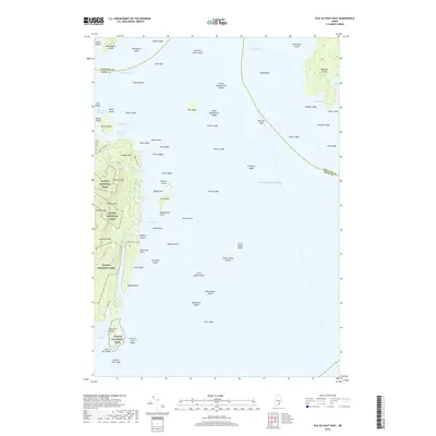
2018 Map of Isle Au Haut East
USGS Topo · Published 2018About this map
Isle Au Haut and its surrounding archipelago define this coastal landscape, where the granite shores of Acadia National Park meet the open waters of the Atlantic Ocean. The map documents a maritime environment of ledges, rocks, and small islands that have long challenged and supported local mariners. On the main island, local routes like Main Rd and Richs Cove Rd connect isolated coastal points, while the Horsemans Pt Trl leads toward the exposed Horseman Point. To the east, Marshall Island sits prominently in Jericho Bay, characterized by Sand Cove and Boxam Cove. This late-2010s survey captures the careful balance between the protected wilderness of Coombs Mtn and the working waterfronts of Head Harbor and Merchant Row.
Find a feature on this map
83 named features on this map. Tap any name to fly to it.
Don’t see what you’re looking for? This feature index may not catch every label — zoom into the map to look around manually.
Map Details
Editions of this 2018 Isle Au Haut East Map
This is the sole edition of this map. No revisions or reprints were ever made.
Other maps of this area
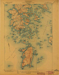
1904 · Deer Isle
USGS Topo · 1:62,500
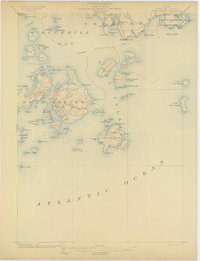
1904 · Swan Island
USGS Topo · 1:62,500
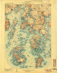
1905 · Penobscot Bay
USGS Topo · 1:125,000
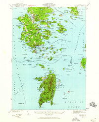
1942 · Deer Isle
USGS Topo · 1:62,500
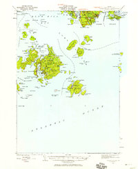
1943 · Swans Island
USGS Topo · 1:62,500
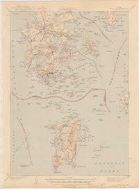
1944 · Deer Isle
USGS Topo · 1:62,500
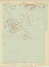
1945 · Swans Island
USGS Topo · 1:62,500
1948 · Bangor
USGS Topo · 1:250,000
1948 · Bath
USGS Topo · 1:250,000
1956 · Bangor
USGS Topo · 1:250,000