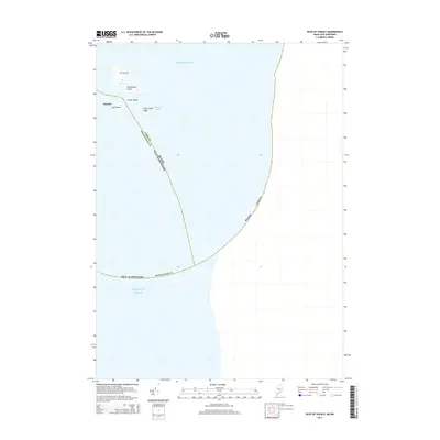
2014 Map of Isles of Shoals
USGS Topo · Published 2014About this map
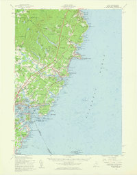
The Isles of Shoals archipelago straddles the state line between Maine and New Hampshire, marking a maritime boundary through the Atlantic Ocean. This survey details the southern portion of the island chain, centered on the historic settlement of Gosport on Star Island. The geography here is defined by rocky outcroppings and sheltered waters like Bigelow Bight, which have historically served as a base for seasonal fishing and early colonial habitation. Surrounding landmasses including Smuttynose Island, Cedar Island, and the treacherous Cedar Island Ledge illustrate the isolation and navigational challenges of this offshore environment. The map clearly delineates the administrative division where York Co meets Rockingham Co, reflecting the complex multi-state jurisdiction of these islands.
Find a feature on this map
13 named features on this map. Tap any name to fly to it.
Don’t see what you’re looking for? This feature index may not catch every label — zoom into the map to look around manually.
Map Details
Editions of this 2014 Isles of Shoals Map
This is the sole edition of this map. No revisions or reprints were ever made.
Other maps of this area

1893 · York
USGS Topo · 1:62,500

1920 · York
USGS Topo · 1:62,500

1943 · Cape Ann
USGS Topo · 1:125,000
1944 · Kittery
USGS Topo · 1:24,000

1948 · Boston
USGS Topo · 1:250,000

1949 · Portland
USGS Topo · 1:250,000
1956 · Kittery
USGS Topo · 1:24,000
1956 · Isles Of Shoals
USGS Topo · 1:24,000
1956 · York
USGS Topo · 1:62,500

1956 · Portland
USGS Topo · 1:250,000