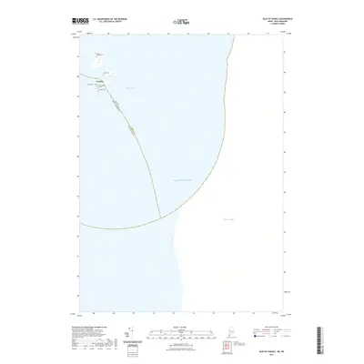
2021 Map of Isles of Shoals
USGS Topo · Published 2021About this map
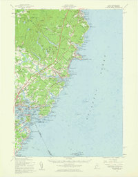
Gosport and the cluster of small islands forming the southern reach of the Isles of Shoals sit at the maritime boundary where Maine and New Hampshire meet in the Atlantic Ocean. This map documents a high concentration of small family and community burial sites relative to the limited landmass, reflecting the long-established settlement history of these outposts. Genealogists and historians can locate specific sites such as the Old Burying Ground, Laighton Thaxter Cem, and Haley Cem. The surrounding waters of Bigelow Bight define the geography of these isolated rocky islands, while the survey clearly delineates the county line between York and Rockingham counties, which bisects this offshore archipelago.
Find a feature on this map
10 named features on this map. Tap any name to fly to it.
Don’t see what you’re looking for? This feature index may not catch every label — zoom into the map to look around manually.
Map Details
Editions of this 2021 Isles of Shoals Map
This is the sole edition of this map. No revisions or reprints were ever made.
Other maps of this area

1893 · York
USGS Topo · 1:62,500

1920 · York
USGS Topo · 1:62,500

1943 · Cape Ann
USGS Topo · 1:125,000
1944 · Kittery
USGS Topo · 1:24,000

1948 · Boston
USGS Topo · 1:250,000

1949 · Portland
USGS Topo · 1:250,000
1956 · Kittery
USGS Topo · 1:24,000
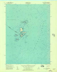
1956 · Isles Of Shoals
USGS Topo · 1:24,000
1956 · York
USGS Topo · 1:62,500

1956 · Portland
USGS Topo · 1:250,000