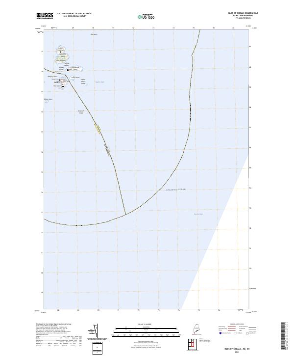
2024 Map of Isles of Shoals
USGS Topo · Published 2024About this map
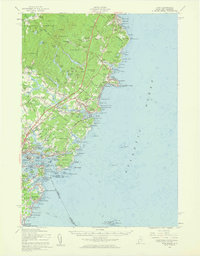
Appledore Island and Star Island anchor this archipelago along the marine boundary of Maine and New Hampshire. The cluster of landforms known as the Isles of Shoals includes several historically significant sites, such as the settlement of Gosport and its associated Gosport Village Cem. Small, family-named burial grounds like the Laighton Thaxter Cem on Appledore Island and the Haley Cem on Smuttynose Island offer tangible links to the seafaring families who once inhabited these rocky outposts. The map also delineates the protected waters of the Petit Manan National Wildlife Refuge and numerous navigational hazards like Anderson Ledge and Cedar Island Ledge. This modern survey records the complex maritime geography of Gosport Harbor and the surrounding Atlantic Ocean, preserving the names of specific ledges and coves used by generations of coastal mariners.
Find a feature on this map
25 named features on this map. Tap any name to fly to it.
Don’t see what you’re looking for? This feature index may not catch every label — zoom into the map to look around manually.
Map Details
Editions of this 2024 Isles of Shoals Map
This is the sole edition of this map. No revisions or reprints were ever made.
Other maps of this area

1893 · York
USGS Topo · 1:62,500

1920 · York
USGS Topo · 1:62,500

1943 · Cape Ann
USGS Topo · 1:125,000
1944 · Kittery
USGS Topo · 1:24,000

1948 · Boston
USGS Topo · 1:250,000

1949 · Portland
USGS Topo · 1:250,000
1956 · Kittery
USGS Topo · 1:24,000
1956 · Isles Of Shoals
USGS Topo · 1:24,000
1956 · York
USGS Topo · 1:62,500

1956 · Portland
USGS Topo · 1:250,000