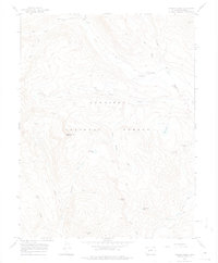
1967 Map of Italian Creek
USGS Topo · Published 1975About this map
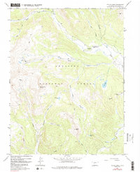
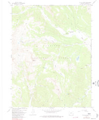
Gunnison National Forest high country is defined by steep drainage basins and a legacy of mineral exploration in this mid-1960s survey. The landscape is marked by numerous high-altitude prospects and workings, including the Enterprise Mine, Star Mine, and Stewart Mine, which follow the geological veins of the Elk Mountains. Water from the Taylor River and Italian Creek carves through the terrain, fed by remote alpine basins such as Mysterious Lake and Horsethief Lake.
Find a feature on this map
31 named features on this map. Tap any name to fly to it.
Don’t see what you’re looking for? This feature index may not catch every label — zoom into the map to look around manually.
Map Details
Editions of this 1967 Italian Creek Map
6 editions found
Other maps of this area

1888 · Crested Butte
USGS Topo · 1:62,500

1889 · Crested Butte
USGS Topo · 1:62,500

1893 · Crested Butte
USGS Topo · 1:62,500

1893 · Aspen
USGS Topo · 1:62,500

1895 · Aspen
USGS Topo · 1:62,500

1909 · Mount Jackson
USGS Topo · 1:125,000

1911 · Mount Jackson
USGS Topo · 1:125,000

1934 · Taylor Park
USGS Topo · 1:62,500

1937 · Taylor Park
USGS Topo · 1:62,500

1956 · Montrose
USGS Topo · 1:250,000