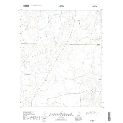
2019 Map of Ivan North
USGS Topo · Published 2019About this map
The Brazos River and its Clear Fork dominate this landscape along the border of Young and Stephens Counties, defining a region where water and topography dictated early settlement patterns. Historically significant burial grounds like Tonk Valley Cem and South Bend Cem are found near the river's path, while the southern portion of the quadrangle centers on the community of Ivan. The terrain is marked by distinct landmarks such as Ball Mtn and the winding Brier Bend of the Brazos. Ranching and rural access are illustrated through a network of local routes including FM 701 and FM 1148, connecting scattered homesteads to the creek-fed valleys of Elm Cr and Veale Cr. Genealogists will find the distribution of family and community cemeteries like Hill Cem and Peveler Cem particularly valuable for locating ancestral sites across these rural plains.
Find a feature on this map
40 named features on this map. Tap any name to fly to it.
Don’t see what you’re looking for? This feature index may not catch every label — zoom into the map to look around manually.
Map Details
Editions of this 2019 Ivan North Map
This is the sole edition of this map. No revisions or reprints were ever made.
Other maps of this area
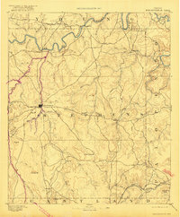
1890 · Breckenridge
USGS Topo · 1:125,000
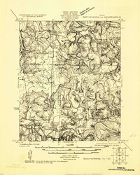
1924 · Breckenridge 1-a
USGS Topo · 1:48,000
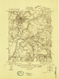
1924 · Graham 4-d
USGS Topo · 1:48,000
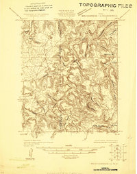
1924 · Breckenridge 1-d
USGS Topo · 1:48,000
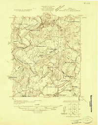
1925 · Graham 4-c
USGS Topo · 1:48,000
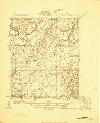
1925 · Breckenridge 1-b
USGS Topo · 1:48,000
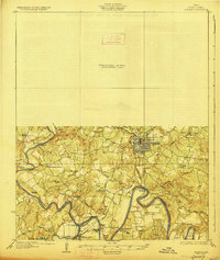
1927 · Graham
USGS Topo · 1:62,500
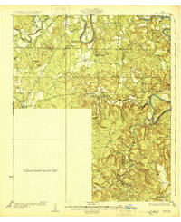
1931 · Ivan
USGS Topo · 1:62,500
1954 · Abilene
USGS Topo · 1:250,000
1954 · Wichita Falls
USGS Topo · 1:250,000