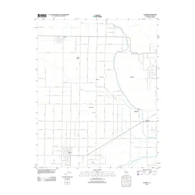
2012 Map of Ivanhoe
USGS Topo · Published 2012About this map
The agricultural grid of the San Joaquin Valley is prominently displayed in this 2012 survey of Tulare County. The community of Ivanhoe serves as a southern anchor, centered near the intersection of Avenue 330 and Road 158. To the north, the settlement of Seville and smaller locales like Rayo, Cairns, and Hillmaid are connected by a precise network of named roads such as Avenue 380 and Road 172.
Find a feature on this map
63 named features on this map. Tap any name to fly to it.
Don’t see what you’re looking for? This feature index may not catch every label — zoom into the map to look around manually.
Map Details
Editions of this 2012 Ivanhoe Map
This is the sole edition of this map. No revisions or reprints were ever made.
Other maps of this area

1921 · Stokes Mountain
USGS Topo · 1:24,000

1922 · Trimmer
USGS Topo · 1:96,000

1923 · Sultana
USGS Topo · 1:31,680

1924 · Dinuba
USGS Topo · 1:125,000

1924 · Stokes Mountain
USGS Topo · 1:31,680

1925 · Rocky Hill
USGS Topo · 1:31,680

1926 · Ivanhoe
USGS Topo · 1:31,680

1926 · Exeter
USGS Topo · 1:31,680

1927 · Monson
USGS Topo · 1:31,680

1927 · Rocky Hill
USGS Topo · 1:31,680