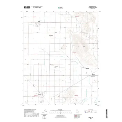
2018 Map of Ivanhoe
USGS Topo · Published 2018About this map
Ivanhoe and Woodlake anchor this portion of the San Joaquin Valley, where the agricultural grid meets the foothills of the Sierra Nevada. The landscape is defined by an intricate network of irrigation infrastructure essential to the region's citrus and fruit industry, including the Friant-Kern Canal, Wutchumna Ditch, and Tulare Irrigation District Canal. These man-made waterways navigate around prominent geological rises such as Colvin Mtn, Bacon Hill, and the distinctive Venice Hills. Small rural communities and loading points like Seville, Rayo, and Hillmaid are scattered along the section lines, connected by an exacting grid of avenues and roads. Genealogists may find interest in the Lone Oak Cem located south of Ivanhoe, while the presence of Saint Johns River and Cottonwood Creek shows the natural drainage patterns that predate the modern canal systems.
Find a feature on this map
67 named features on this map. Tap any name to fly to it.
Don’t see what you’re looking for? This feature index may not catch every label — zoom into the map to look around manually.
Map Details
Editions of this 2018 Ivanhoe Map
This is the sole edition of this map. No revisions or reprints were ever made.
Other maps of this area
1921 · Stokes Mountain
USGS Topo · 1:24,000
1922 · Trimmer
USGS Topo · 1:96,000
1923 · Sultana
USGS Topo · 1:31,680
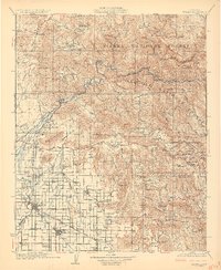
1924 · Dinuba
USGS Topo · 1:125,000
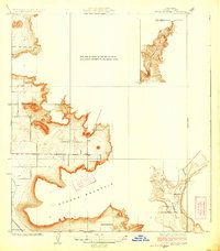
1924 · Stokes Mountain
USGS Topo · 1:31,680
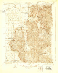
1925 · Rocky Hill
USGS Topo · 1:31,680
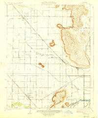
1926 · Ivanhoe
USGS Topo · 1:31,680
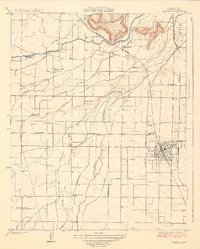
1926 · Exeter
USGS Topo · 1:31,680
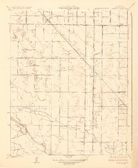
1927 · Monson
USGS Topo · 1:31,680
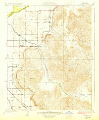
1927 · Rocky Hill
USGS Topo · 1:31,680